Daily Telegraph Great Britain & Ireland|Wall Map|ROGER LASCELLES
From £11.00
Description
Description
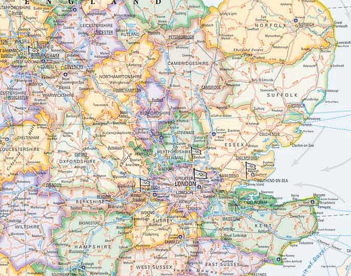
This wall map of Great Britain and Ireland is produced at a scale of 1:1,250,000, with the specially designed cartography created in soft pastel colours and showing the depths of the oceans in different shades of blue. The bathymetry is derived from the GEBCO Digital Atlas by the British Oceanographic Data Centre.
Uniquely, the map also shows the directions of the main stream flood tides as well as the shipping forecast areas around the UK coast. This map also shows the locations around the country of all the 2012 Olympic events.
The mapping is clear and easy to read, with counties clearly marked and administrative centres and main towns shown. Principal railways are also shown together with numerous physical features (both land and sea). The map also shows the flags of all the countries that make up Great Britain and Ireland.
Each map measures 85cm wide x 120cm high and is produced on quality 130 g/m² matt paper. The durable encapsulated version is bonded between two sheets of tough, flexible, crystal clear plastic, perfect for framing without the need for glass and allowing you, should you wish, to write on/wipe off with dry or wet pens. Also available as a paper wall map.
| Dimensions | 101 cm |
|---|---|
| Map Type | Encapsulated wall map ISBN/EAN: 978 1 85879 6789, Paper wall map ISBN/EAN: 978 1 85879 6796 |
| Scale | 1: 1,250,000 |
| Format | Wall map |
| Publisher | Roger Lascelles |
| Sheet size | 85cm x 120cm |
Reviews (0)
You must be logged in to post a review.
Related products
-
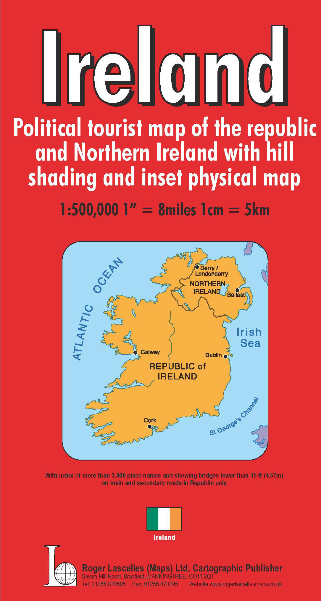
Ireland | 1: 500,000 | ROGER LASCELLES
£8.95 Add to basket -
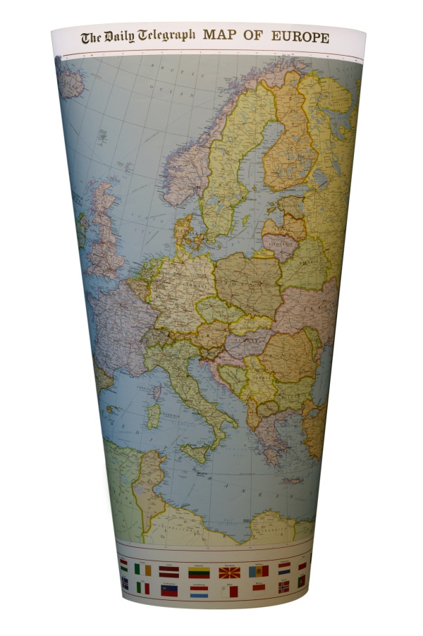
Daily Telegraph Europe | Wall Map | ROGER LASCELLES
From £11.00 Select options This product has multiple variants. The options may be chosen on the product page -
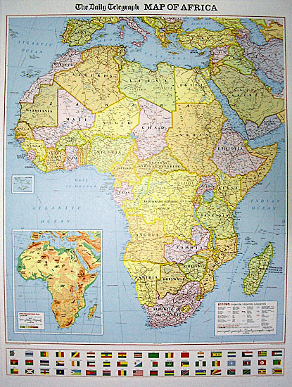
Daily Telegraph Africa | Wall Map | ROGER LASCELLES
From £11.00 Select options This product has multiple variants. The options may be chosen on the product page -

Ireland Wall Map | 1: 500,000 | ROGER LASCELLES
From £11.00 Select options This product has multiple variants. The options may be chosen on the product page
Reviews
There are no reviews yet.