Daily Telegraph Europe | Wall Map | ROGER LASCELLES
From £11.00
Description
Description
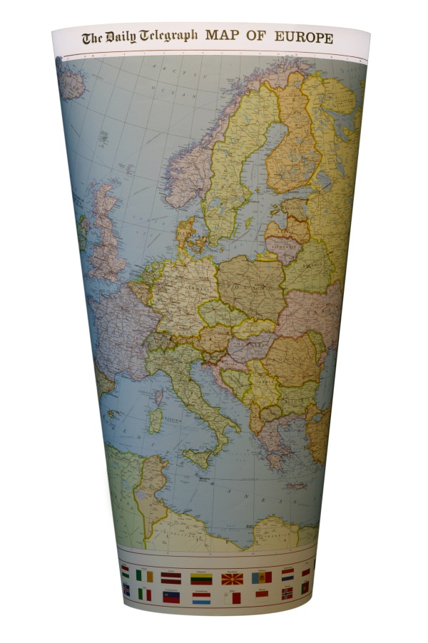
Large scale political wall map of Europe with countries shaded in different pastel colours and their borders enhanced with darker shading. The map is clear and easy to read, and shows the major towns and cities together with principal roads, railways and ferry routes. Spot heights (and names) are given for the principal peaks and rivers and mountain ranges are also marked. The map includes insets of Benelux and Switzerland shown at 1: 2,500,000 plus a large inset of the Rhine Valley area of Germany shown at 1:1,000,000, part of which is a UNESCO World Heritage Site. In addition, the flags of all the European countries are shown in a strip along the bottom of the map.
The wall map is produced on quality 130 g/m² matt paper with the durable encapsulated version bonded between two sheets of tough, flexible, crystal clear plastic, perfect for framing without the need for glass and allowing you, should you wish, to write on/wipe off with dry or wet pens. Also available in folded format. Legend: English, French, German
| Map Type | Encapsulated wall map ISBN/EAN: 978 1 85879 2446, Paper wall map ISBN/EAN: 978 1 85879 2439 |
|---|---|
| Scale | 1: 6,635,000 |
| Format | Wall map |
| Publisher | Roger Lascelles |
| Sheet size | 82cm x 101cm |
Reviews (0)
You must be logged in to post a review.
Related products
-
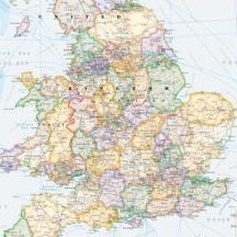
Daily Telegraph Great Britain & Ireland|Wall Map|ROGER LASCELLES
From £11.00 Select options This product has multiple variants. The options may be chosen on the product page -
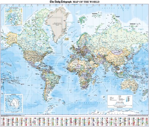
Daily Telegraph Map of the World | Wall Map | ROGER LASCELLES
From £11.00 Select options This product has multiple variants. The options may be chosen on the product page -
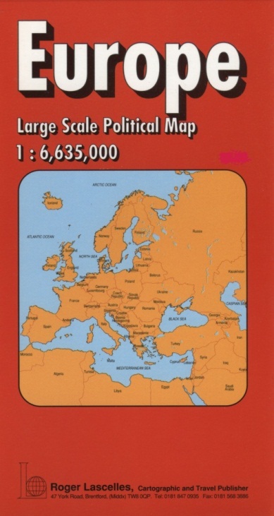
Europe | Political Map | 1: 6,635,000 | ROGER LASCELLES
£8.95 Add to basket -
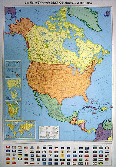
Daily Telegraph North America | Wall Map | ROGER LASCELLES
From £11.00 Select options This product has multiple variants. The options may be chosen on the product page
Reviews
There are no reviews yet.