
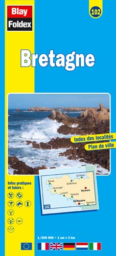
Brittany (Bretagne) | Regional Map | 1: 200,000 | BLAY FOLDEX
£5.95
Stock Status: In Stock
Description
Description
This detailed map of Brittany (102) is one of a series of maps by French publisher Blay Foldex covering the regions of France and is full of practical information for tourists and travellers.
The map includes a place names index plus an inset street plan of Rennes shown at 1: 9,000 with a street index, showing the one-way system, car parks, pedestrianised roads and metro stations.
Legend: French, English, German, Italian, Dutch
Towns covered: Brest, Dinan, Dinard, Lorient, Nantes, Quimper, Rennes, Saint-Brieuc, Saint-Malo, Saint-Nazaire, Vannes
| ISBN/EAN | 978 1 85879 4396 |
|---|---|
| Scale | 1: 200,000 |
| Format | Folded Map |
| Publisher | Blay Foldex |
Reviews (0)
You must be logged in to post a review.
Related products
-

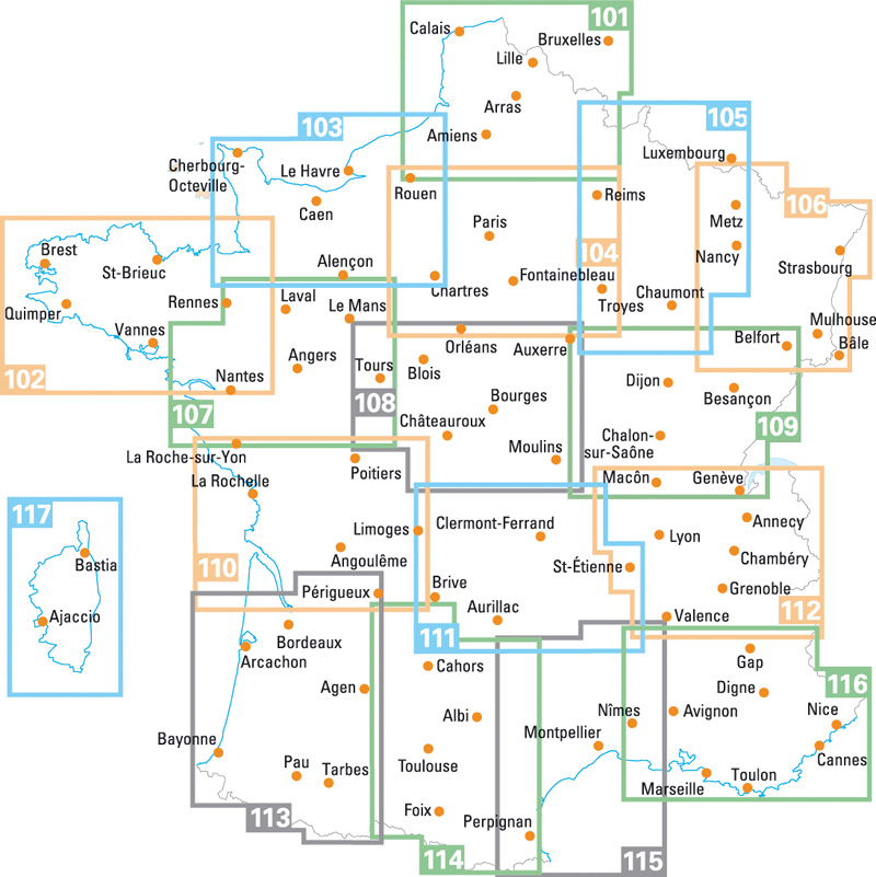
Pays de la Loire | Regional Road Map | 1: 200,000 | BLAY FOLDEX
£5.95 Add to basket -
Centre-Berry | Regional Road Map | 1: 200,000 | BLAY FOLDEX
£5.95 Add to basket -
Brittany | 1: 250,000 | ROGER LASCELLES
£8.95 Add to basket -

Normandy Large Scale Road Map | 1: 250,000 | ROGER LASCELLES
£8.95 Add to basket
Reviews
There are no reviews yet.