
Normandy Large Scale Road Map | 1: 250,000 | ROGER LASCELLES
£8.95
Stock Status: In Stock
Description
Description
Map covering Normandy and the surrounding area from St Malo in the west to Rambouillet in the east and Le Mans in the south. The map includes a comprehensive index of places and principal sights on the reverse and is unbeatable for locating small villages. T owns and cities are graded according to their population and the road network is clearly marked and well differentiated by colour with route numbers and distances given. A wealth of secondary and minor roads are included and scenic routes are highlighted. The names of motorway junctions are also marked as well as service stations and roadside restaurants. Other information includes railways, rivers, airports and ferry routes. Sports venues and facilities are also marked together with numerous places of interest including campsites, viewpoints and historic buildings. Legend: French, English, German, Dutch, Italian
Towns covered: Alençon, Caen, Chartres, Cherbourg-Octeville, Dieppe, Dreux, Évreux, Le Havre, Rouen, Saint-Lô
| ISBN/EAN | 978 1 85879 0602 |
|---|---|
| Scale | 1: 250,000 |
| Format | Folded Map |
| Publisher | Roger Lascelles |
Reviews (0)
You must be logged in to post a review.
Related products
-

Pas de Calais | Water Resistant Map | 1: 180,000 | BLAY FOLDEX
£6.00 Add to basket -

Somme & Oise | Regional Road Map | 1: 180,000 | BLAY FOLDEX
£6.50 Add to basket -

Burgundy (Bourgogne) | Regional Map | 1: 200,000 | BLAY FOLDEX
£5.95 Add to basket -
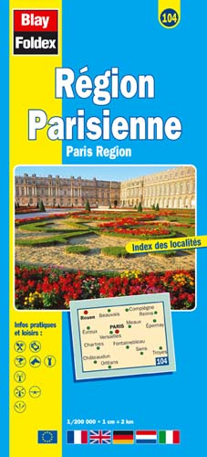
Paris Region | Regional Road Map | 1: 200,000 | BLAY FOLDEX
£5.95 Add to basket
Reviews
There are no reviews yet.