


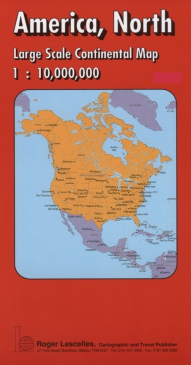

America, North | Political Map | 1: 10,000,000 | ROGER LASCELLES
£8.95
Stock Status: In Stock
Description
Description
Large scale political map of North and Central America, including Alaska, Canada, USA (United States), part of Greenland, Mexico, Guatemala, Belize, Honduras, El Salvador, Nicaragua, Costa Rica, Panama, the West Indies islands as far east as Puerto Rico and part of Columbia and Venezuela. Countries are shown in bright colours with their borders enhanced by darker colouring. State boundaries and names are marked for Canada and the United States.
The map shows major towns and cities, together with the major road and rail networks, shipping routes, major rivers, and other geographical features including mountain ranges and deserts. Latitude and longitude lines are drawn at 10° intervals. Also included are inset maps of the Aleutian Islands and Hawaiian Islands shown at 1:7,500,00, together with an inset map showing the Polar View of North America, Europe and Asia (1:120,000,000). There is also a small inset physical map of the map area showing heights above sea level and an inset map showing the International Time Zones of the world. Legend: English, German, French
| ISBN/EAN | 978 1 85879 0541 |
|---|---|
| Scale | 1: 10,000,000 |
| Format | Folded Map |
| Publisher | Roger Lascelles |
Reviews (0)
You must be logged in to post a review.
Related products
-
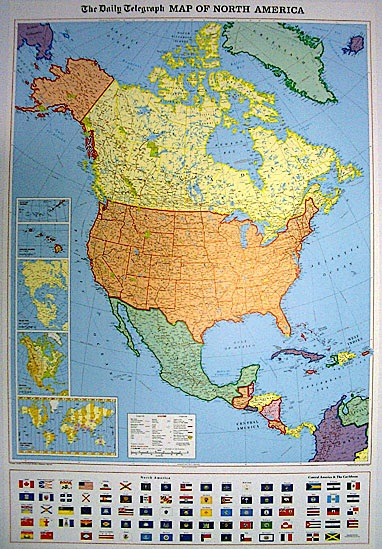
Daily Telegraph North America | Wall Map | ROGER LASCELLES
From £11.00 Select options This product has multiple variants. The options may be chosen on the product page -

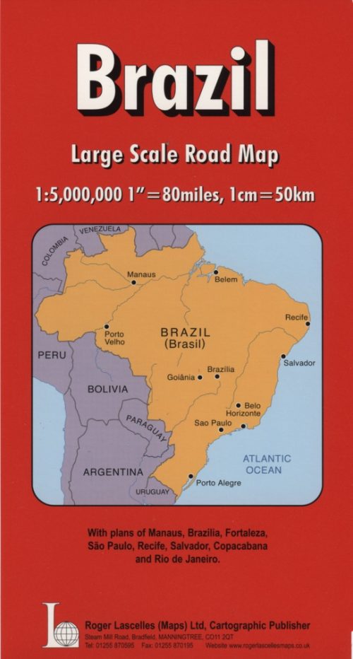
Brazil | Large Scale Road Map | 1: 5,000,000 | ROGER LASCELLES
£8.95 Add to basket -

New York City: Manhattan | City Map 11 | 1: 11, 000 | MICHELIN
£5.99 Add to basket
Reviews
There are no reviews yet.