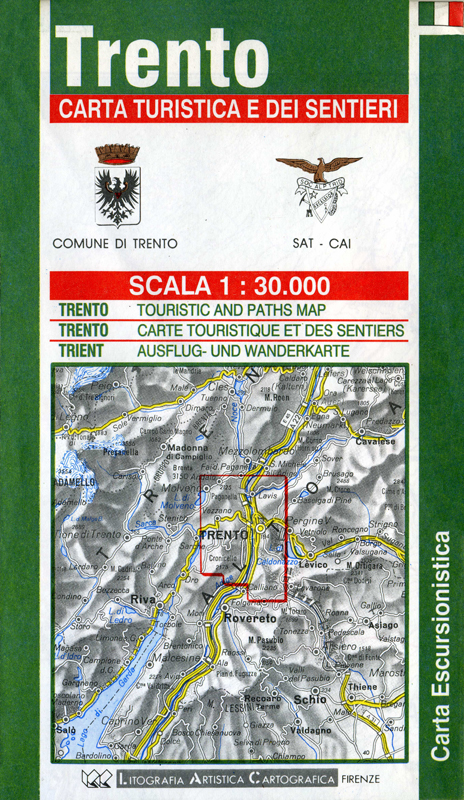
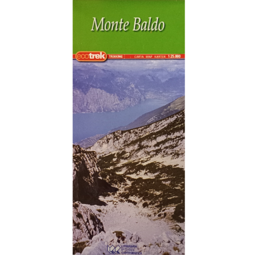
Trento (Trentino-Alto Adige) | Walking Map | 1: 30,000 | LAC
£5.50
Stock Status: In Stock
Description
Description
One of a series of detailed topographical hiking maps covering the region around Trento in the Adige valley of northern Italy.
Roads, railways, dirt tracks and marked and unmarked footpaths are clearly marked. Relief shading and contours are also marked and spot heights given. The map also shows town boundaries, as well as a range of landmarks and places of interest including caves and other places of geological interest, campsites, hostels, ski lifts and national parks.
| ISBN/EAN | 978 1 85879 |
|---|---|
| Scale | 1: 30,000 |
| Format | Folded Map |
| Publisher | Litografia Artistica Cartografica |
Reviews (0)
You must be logged in to post a review.

Reviews
There are no reviews yet.