
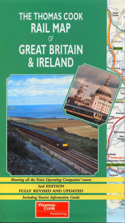
Thomas Cook Rail Map of Great Britain & Ireland | THOMAS COOK
£6.95
Stock Status: Sold Out
Description
Description
Compiled by the team of the famous Thomas Cook European Rail Timetable, this map covers all the passenger railways of Britain and Ireland and makes the perfect companion to the Thomas Cook European Rail Timetable. The routes are colour-coded according to the train operating companies, with most of England and Wales shown on one side at 1:750,000, and the far north of England, Scotland and Ireland shown on the reverse at a reduced scale of 1:1,000,000. Tourist railways are also marked and scenic routes highlighted. The map also shows the country’s major heritage attractions and tourist attractions together with principal ferry routes and airports, and includes an enlargement of the London area together with a map of the London Underground.
The mapping is accompanied by text listing 200 destinations served by the rail network detailing their major tourist attractions and telephone numbers of the relevant Tourist Information Centres. There is also a useful listing of the train operating companies together with contact details.
Legend: English
| ISBN/EAN | 978 1 84157 1249 |
|---|---|
| Scale | 1: 750,000 |
| Format | Folded Map |
| Publisher | Thomas Cook |
Reviews (0)
You must be logged in to post a review.
Related products
-
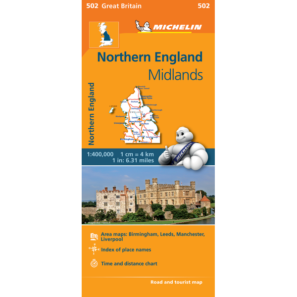
Northern England | Regional Map 502 | 1: 400,000 | MICHELIN
£5.99 Add to basket -
Daily Telegraph Great Britain & Ireland|Wall Map|ROGER LASCELLES
From £11.00 Select options This product has multiple variants. The options may be chosen on the product page -

Ireland Wall Map | 1: 500,000 | ROGER LASCELLES
From £11.00 Select options This product has multiple variants. The options may be chosen on the product page -
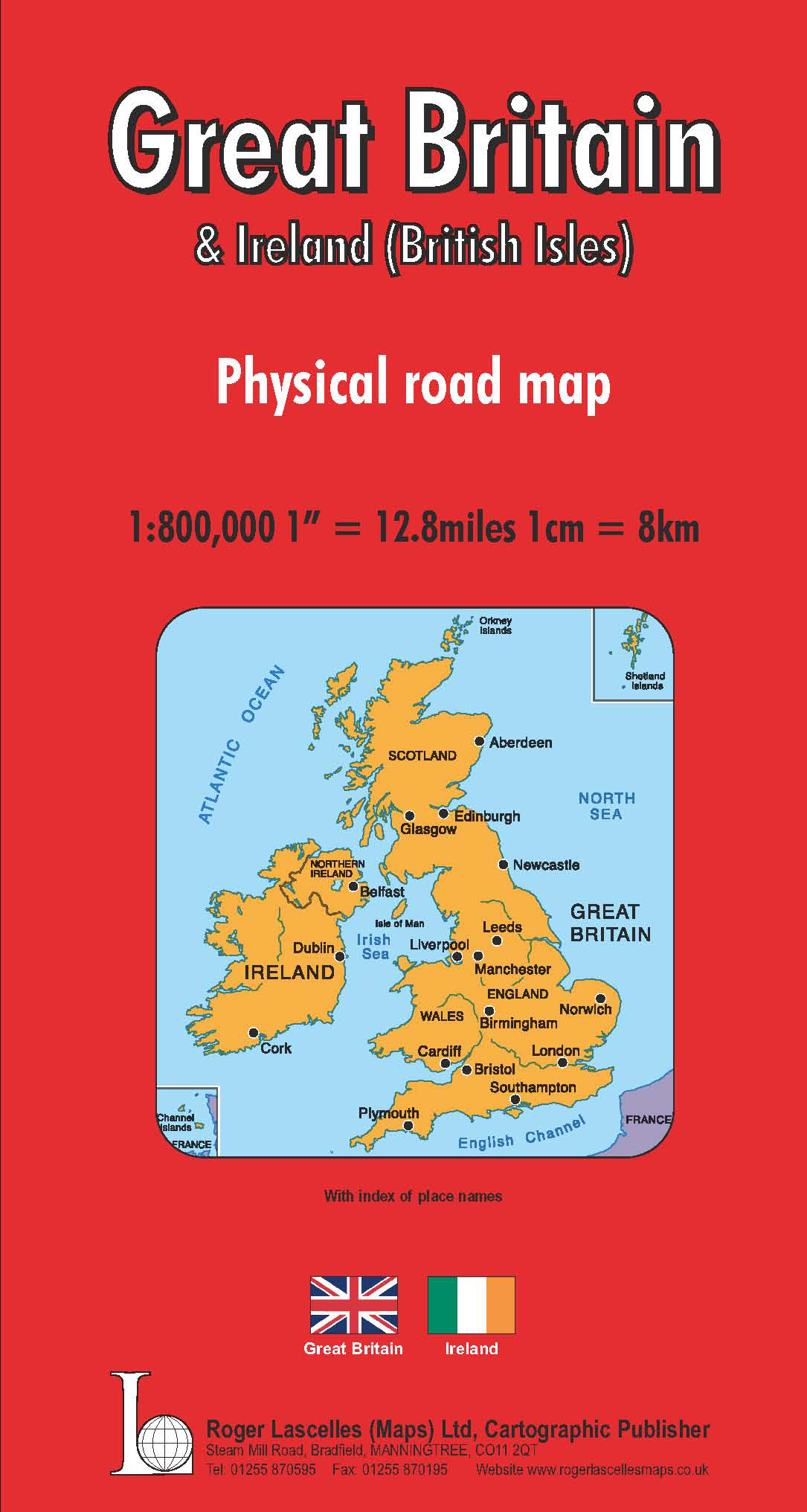
Great Britain & Ireland Road Map | 1: 800,000 | ROGER LASCELLES
£8.95 Add to basket
Reviews
There are no reviews yet.