
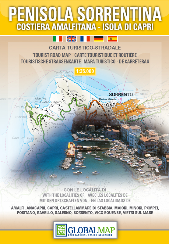
Sorrento Peninsula | Regional Road Map | 1: 35,000 | GLOBAL MAP
£10.00
Stock Status: In Stock
Description
Description
Detailed map of the Sorrento Peninsula (Penisola Sorrentina), including the Amalfi coast (Costiera Amalfitana) and Capri. The map stretches from Torre Annunziata in the Bay of Naples to Salerno and includes Pompeii (site plan shown as an inset) and Nocera, with Capri also shown as an inset. The network of roads is clearly marked map, and tracks and footpaths also shown. Suggested hiking itineraries are also shown.
The map includes relief shading to indicate terrain, together with spot heights. A wealth of other useful information is also shown including railways, cable cars, campsites, historic sites and viewpoints. The map also includes insets showing street plans of the resorts of Sorrento, Amalfi, Positano, Salerno, Castellammare di Stabia, Vico Equense, Ravello, Minori, Maiori, Vietri sul Mare, Capri Town and Anacapri. The reverse of the map includes general information about the area including text in English.
| ISBN/EAN | 978 1 85879 6635 |
|---|---|
| Scale | 1: 35,000 |
| Format | Folded Map |
| Publisher | Global Map |
Reviews (0)
You must be logged in to post a review.
Related products
-
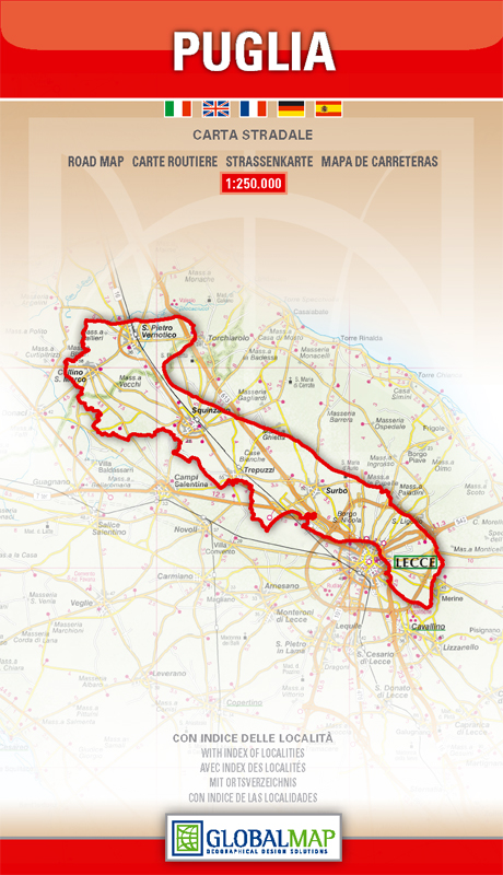
Apulia (Puglia) | Regional Road Map | 1: 250,000 | GLOBAL MAP
£9.00 Add to basket -
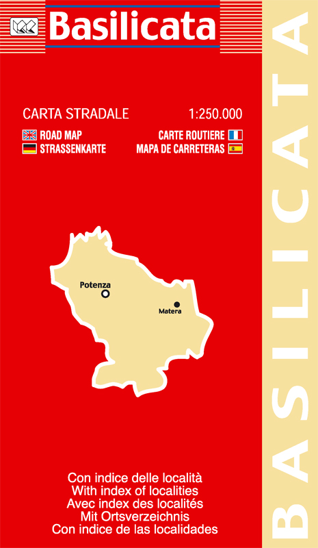
Basilicata (Lucania) | Regional Road Map | 1: 250,000 | LAC
£9.00 Add to basket -
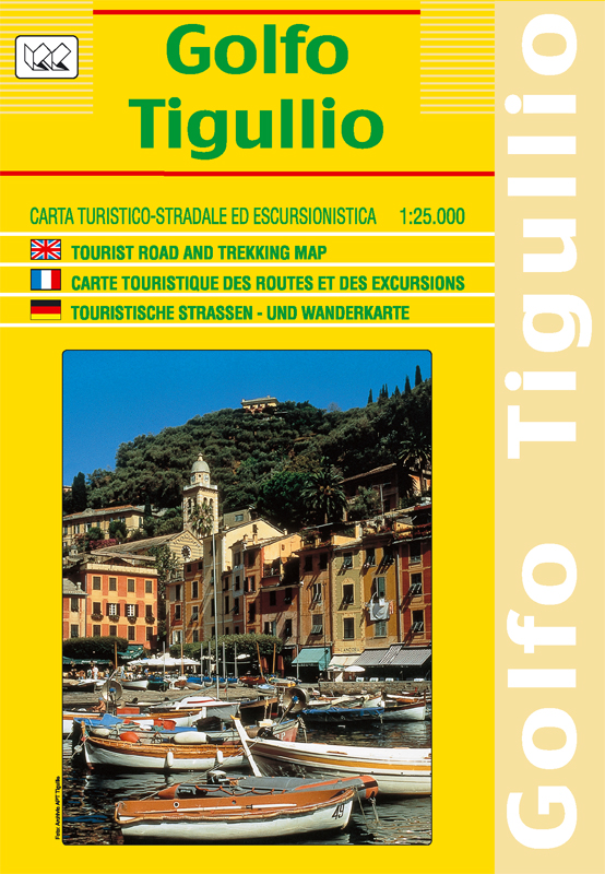
Golfo del Tigullio | Regional Road Map | 1: 25,000 | LAC
£10.00 Add to basket -
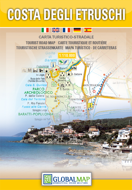
Etruscan Coast | Regional Road Map | 1: 110,000 | GLOBAL MAP
£10.00 Add to basket
Reviews
There are no reviews yet.