
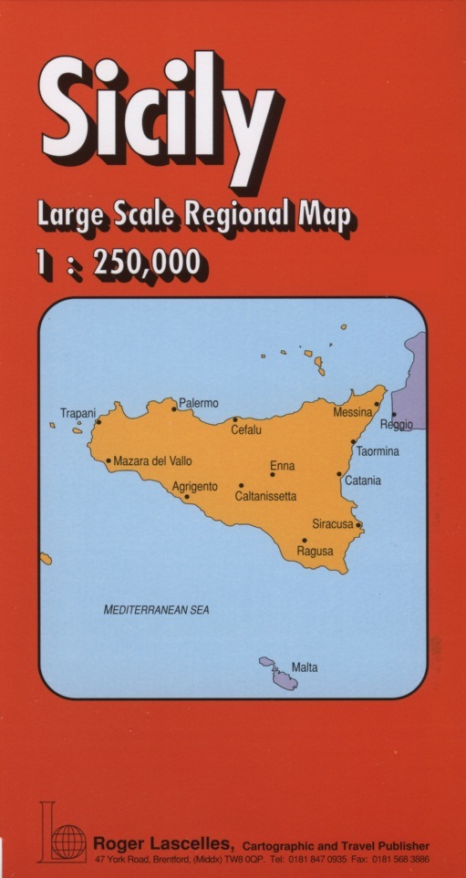
Sicily Large Scale Regional Map | 1: 250,000 | ROGER LASCELLES
£8.95
Stock Status: Sold Out
Description
Description
Large scale map covering the island of Sicily with the smaller offshore islands shown as insets. The road network is marked including a selection of minor roads. Intermediate driving distances are also given. Relief shading is used to indicate terrain and spot heights given. Railways, airports and ferry routes are also shown and national parks marked together with a variety of places of interest. The map includes an inset showing an overview of the island and the reverse features a comprehensive place names index.
Legend: Italian, English, French, German
| ISBN/EAN | 978 1 85879 1739 |
|---|---|
| Scale | 1: 250,000 |
| Format | Folded Map |
| Publisher | Roger Lascelles |
Reviews (0)
You must be logged in to post a review.
Reviews
There are no reviews yet.