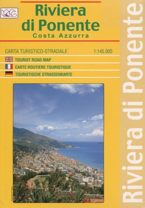
Riviera di Ponente | Regional Road Map | 1: 145,000 | LAC
£10.00
Stock Status: In Stock
Description
Description
Tourist road map of the Riviera di Ponente, the western section of the Italian Riviera extending from the port of Genoa westwards to the French border. Roads are clearly marked and differentiated according to size, with intermediate driving distances given, scenic routes highlighted and tracks and trails also marked. Hill shading is included and spot heights marked. The map also shows administrative boundaries, railways and ferry routes together with a variety of tourist information including campsites and places of interest. A table is also included detailing the population and altitude of the major centres.
Key: Italian, English, French & German
| ISBN/EAN | 978 1 85879 5799 |
|---|---|
| Scale | 1: 145,000 |
| Format | Folded Map |
| Publisher | Litografia Artistica Cartografica |
Reviews (0)
You must be logged in to post a review.
Related products
-
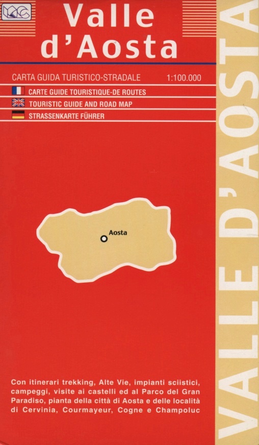
Aosta Valley | Regional Road Map | 1: 100,000 | LAC
£9.00 Add to basket -
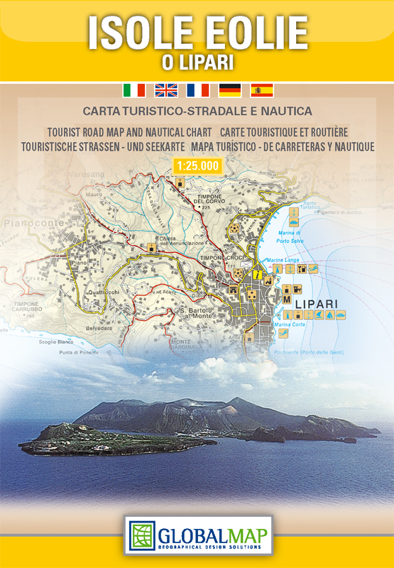
Aeolian (Lipari) Islands | Sicily | 1: 30,000 | GLOBAL MAP
£10.00 Add to basket -
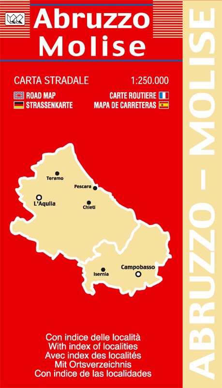
Abruzzo & Molise | Regional Road Map | 1: 250,000 | LAC
£9.00 Add to basket -
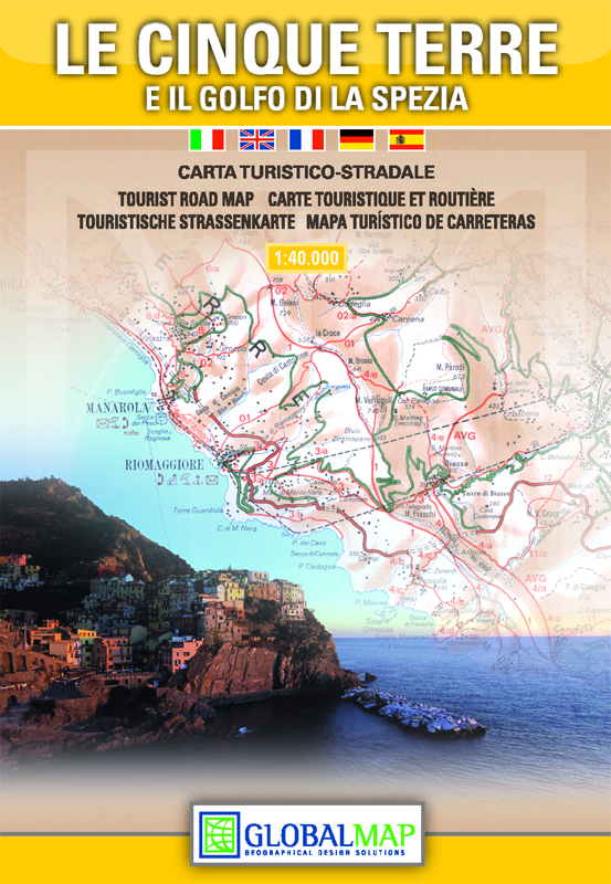
Cinque Terre | Regional Road Map | 1: 40,000 | GLOBAL MAP
£10.00 Add to basket
Reviews
There are no reviews yet.