
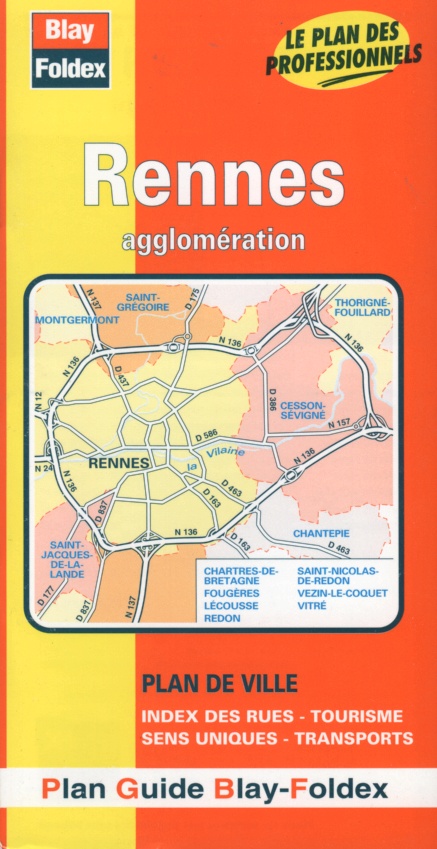
Rennes city map | 1: 12,000 | Brittany | BLAY FOLDEX
£5.50
Stock Status: In Stock
Description
Description
Double-sided street map of Rennes and its suburbs showing places of interest including public buildings, schools, churches, cultural attractions, railways and parks together with car parks, one-way streets and pedestrianised roads. Includes a separate map of the city centre at 1:9,000. The map comes with a 44-page booklet featuring historical and practical information and a comprehensive street index.
| ISBN/EAN | 978 1 85879 1678 |
|---|---|
| Format | Folded Map |
| Publisher | Blay Foldex |
Reviews (0)
You must be logged in to post a review.
Reviews
There are no reviews yet.