
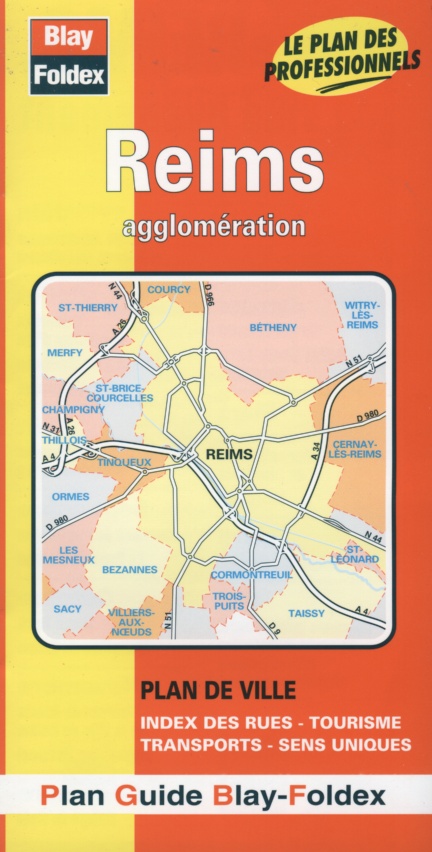
Reims city map | 1: 12,500 | Champagne-Ardenne | BLAY FOLDEX
£4.95
Stock Status: In Stock
Description
Description
Detailed street map of Reims and its suburbs. Includes a separate map of central Reims, shown at 1: 9,400. The map comes with a 28-page booklet featuring historical and practical information on Reims and street indexes of Reims and the surrounding towns of Bétheny, Bezannes, Cernay-lès-Reims, Champigny, Cormontreuil, Les Mesneux, Saint-Brice-Courcelles, Taissy, Tinqueux and Witry-lès-Reims
| ISBN/EAN | 978 1 85879 1333 |
|---|---|
| Scale | 1: 12,500 |
| Format | Folded Map |
| Publisher | Blay Foldex |
Reviews (0)
You must be logged in to post a review.
Reviews
There are no reviews yet.