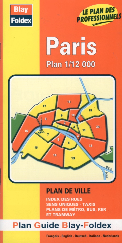
Paris Map | 1:12,000 | BLAY FOLDEX
£5.50
Stock Status: In Stock
Description
Description
Street map of Paris and its suburbs showing a wealth of detail including public buildings, churches, railways, parks, car parks, taxi ranks, one-way streets and pedestrianised roads. Metro stations are clearly marked and named and tramway stations marked. Includes an inset bus map and a metro, tramway and RER map. The map comes with booklet including a 36-page street index.
| ISBN/EAN | 978 1 85879 1319 |
|---|---|
| Scale | 1: 12,000 |
| Format | Folded Map |
| Publisher | Blay Foldex |
Reviews (0)
You must be logged in to post a review.


Reviews
There are no reviews yet.