
Nord (North) | Regional Road Map | 1: 200,000 | BLAY FOLDEX
£5.95
Stock Status: In Stock
Description
Description
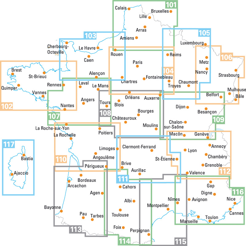
This detailed map of the Nord region (101) of northern France is one of a series of maps by French publisher Blay Foldex covering the regions of France and is full of practical information for tourists and travellers.
The map includes a place names index plus an inset street plan of Lille shown at 1: 11,600 with a street index, showing the one-way system, car parks, pedestrianised roads and metro and tramway stations.
Legend: French, English, German, Italian, Dutch
Towns covered: Amiens, Arras, Avesnes-sur-Helpe, Béthune, Boulogne-sur-Mer, Calais, Cambrai, Dieppe, Douai, Dunkerque, Lens, Liévin, Lille, Montreuil, Roubaix, Saint-Omer, Saint-Quentin, Tourcoing, Valenciennes
| ISBN/EAN | 978 1 85879 4440 |
|---|---|
| Scale | 1: 200,000 |
| Format | Folded Map |
| Publisher | Blay Foldex |
Reviews (0)
You must be logged in to post a review.
Related products
-

Somme & Oise | Regional Road Map | 1: 180,000 | BLAY FOLDEX
£6.50 Add to basket -

Burgundy (Bourgogne) | Regional Map | 1: 200,000 | BLAY FOLDEX
£5.95 Add to basket -
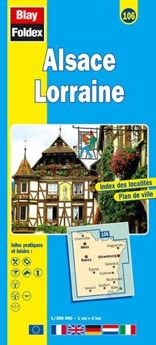
Alsace Lorraine | Regional Road Map | 1: 200,000 | BLAY FOLDEX
£5.95 Add to basket -
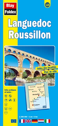
Languedoc Roussillon | Regional Map | 1: 200,000 | BLAY FOLDEX
£5.95 Add to basket
Reviews
There are no reviews yet.