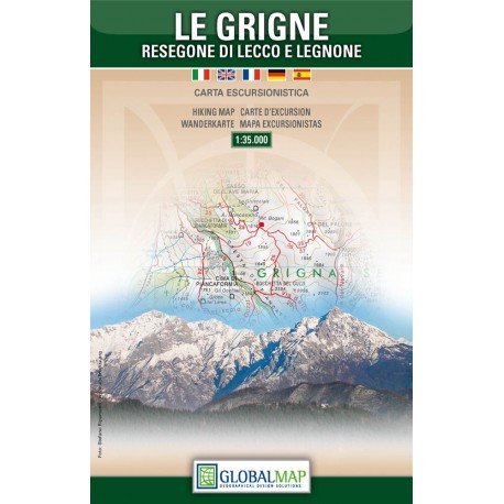
Le Grigne | Walking Map | 1: 35,000 | GLOBAL MAP
£11.50
Stock Status: In Stock
Description
Description
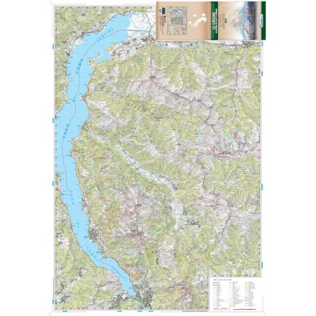
The Grigne mountain range hugs the eastern shore of Lake Como with its two main mountains: East Grigna better known as Grignone (2410m) and South Grigna known as Grignetta (2184m).
Joined by a long ridge and easily accessible from the city of Lecco, the mountains are home to many smaller peaks and host a superb range of hiking trails and climbing opportunities. This clearly drawn trekking map features a wealth of detail including contours, relief shading, graphic shading showing rocky areas and numerous spot heights. Vegetation from woodland to heathland, orchards and vineyards is also shown.
Waymarked hiking trails are highlighted indicating ‘Via Ferrata’ sections and mountain refuges. The road network indicates routes closed to motorized traffic. Railway lines and ski lifts are also shown.
| ISBN/EAN | 978 1 85879 6581 |
|---|---|
| Scale | 1: 35,000 |
| Format | Folded Map |
| Publisher | Global Map |
| Sheet size | 76cm x 109cm |
Reviews (0)
You must be logged in to post a review.
Related products
-
Parco della Maremma | Walking Map | 1: 25,000 | GLOBAL MAP
£11.50 Add to basket -

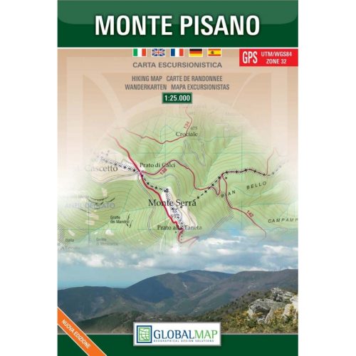
Monte Pisano | Walking Map | 1: 25,000 | GLOBAL MAP
£11.50 Add to basket -

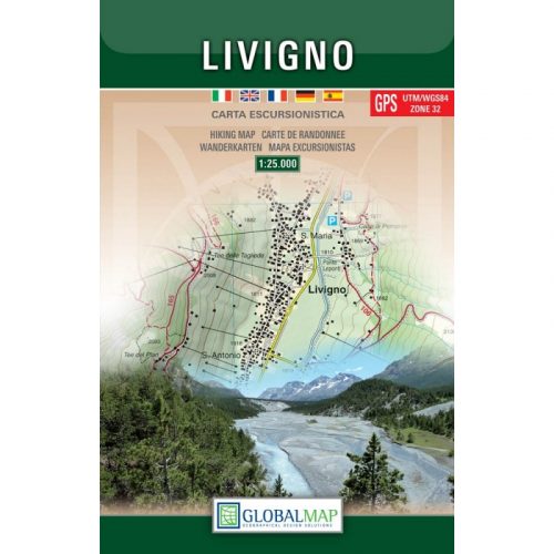
Livigno | Walking Map | 1: 25,000 | GLOBAL MAP
£11.50 Add to basket -

San Gimignano/Volterra | Walking Map | 1: 25,000 | GLOBAL MAP
£11.50 Add to basket
Reviews
There are no reviews yet.