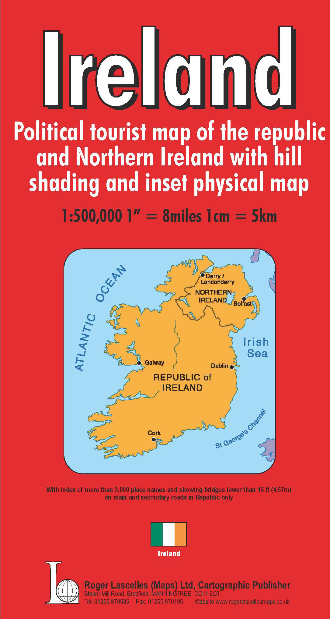
Ireland | 1: 500,000 | ROGER LASCELLES
£8.95
Stock Status: In Stock
Description
Description
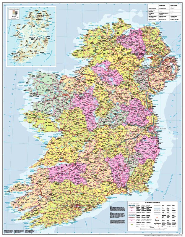
Political map of the Republic and Northern Ireland printed on thick paper with relief shading and regional provinces shaded in different colours. The map shows towns and cities together with roads (including route numbers and distances), railways and ferry routes. Spot heights (and names) are given for the principal peaks and rivers and mountain ranges are also marked. The map includes an inset physical map of the country at 1:2,000,000 showing land elevations and the principal rivers, lakes and mountain ranges. It is accompanied by a comprehensive place names index booklet.
Also available as a wall map. This map can also be personalised for your business or customers – see Bespoke mapping services.
Legend: English, French, German
| ISBN/EAN | 978 1 85879 1968 |
|---|---|
| Scale | 1: 500,000 |
| Format | Folded Map |
| Publisher | Roger Lascelles |
Reviews (0)
You must be logged in to post a review.
Related products
-
Daily Telegraph Great Britain & Ireland|Wall Map|ROGER LASCELLES
From £11.00 Select options This product has multiple variants. The options may be chosen on the product page -
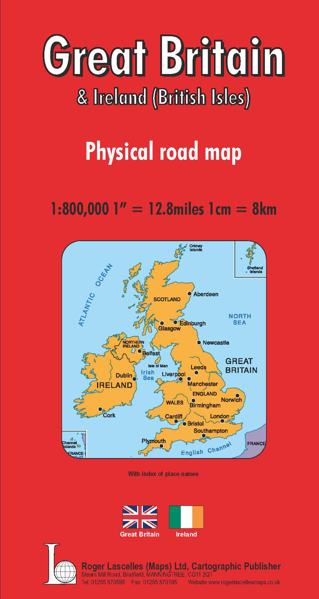
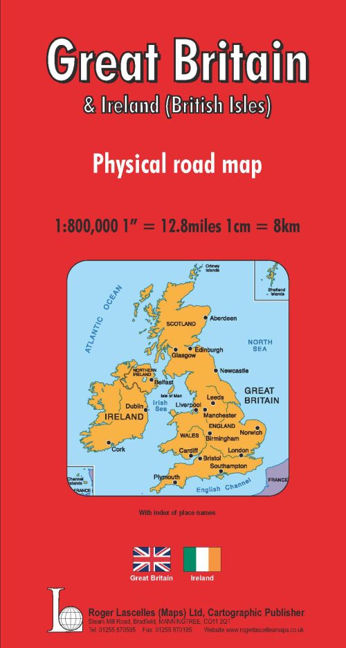
Great Britain & Ireland Road Map | 1: 800,000 | ROGER LASCELLES
£8.95 Add to basket -

Ireland Wall Map | 1: 500,000 | ROGER LASCELLES
From £11.00 Select options This product has multiple variants. The options may be chosen on the product page
Reviews
There are no reviews yet.