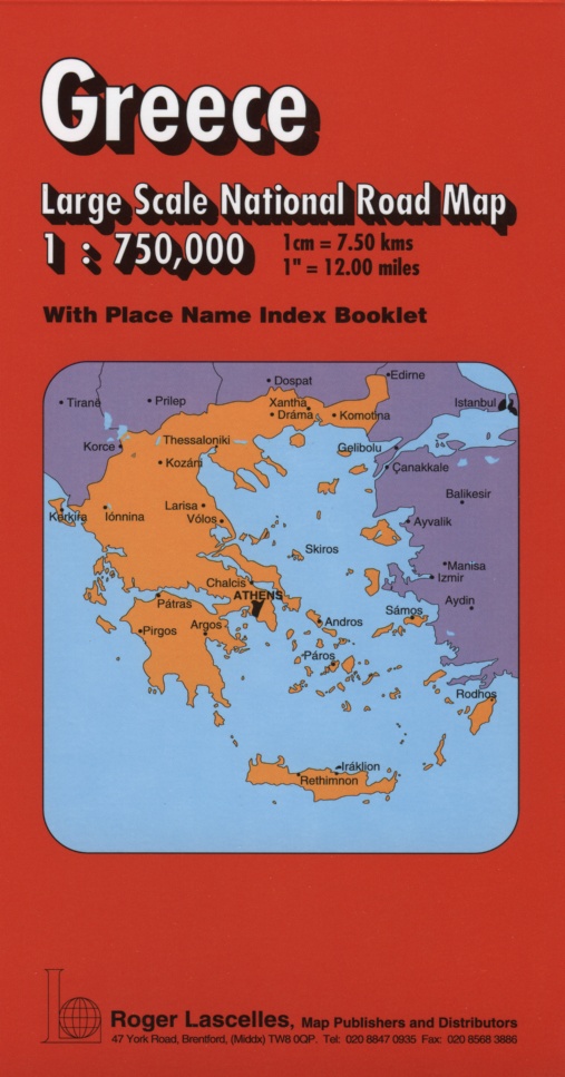
Greece Large Scale Road Map | 1: 750,000 | ROGER LASCELLES
£8.95
Stock Status: In Stock
Description
Description
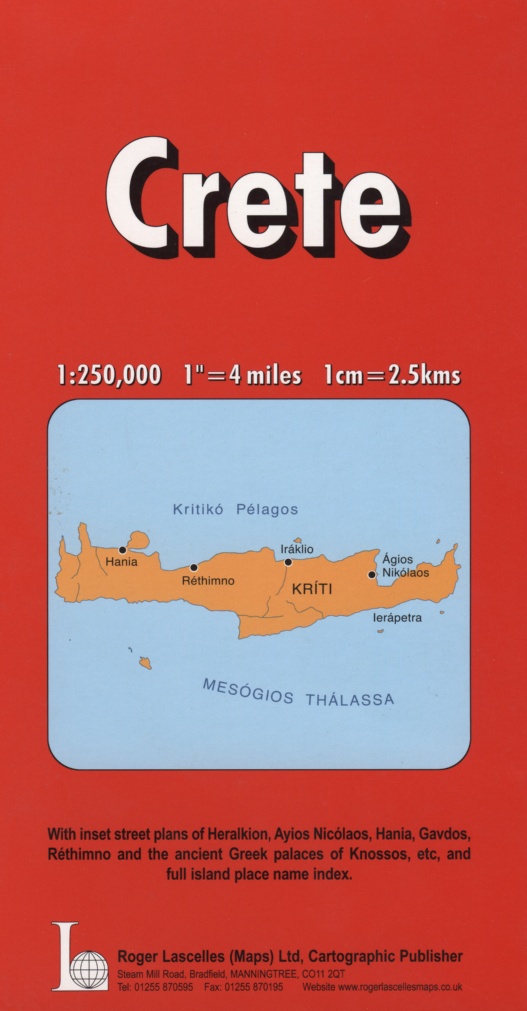
Large scale map covering mainland Greece and the whole of the GreekIslands together with parts of Albania, Macedonia, Bulgaria and Turkey. Crete and Megisti and Rho are shown as insets. T owns and cities are graded according to their population and the road network is clearly marked and well differentiated by colour with major route numbers and distances given. A selection of secondary roads are also included and scenic routes are highlighted. Country boundaries are clearly shown and relief shading included to indicate terrain. Other information includes railways, rivers and lakes, airports, national parks, ferry routes and numerous places of interest including viewpoints, campsites, castles and historic buildings. The map comes with a comprehensive place names index booklet
Legend: English, German, French, Greek
| ISBN/EAN | 978 1 85879 2729 |
|---|---|
| Scale | 1: 750,000 |
| Format | Folded Map |
| Publisher | Roger Lascelles |
Reviews (0)
You must be logged in to post a review.
Reviews
There are no reviews yet.