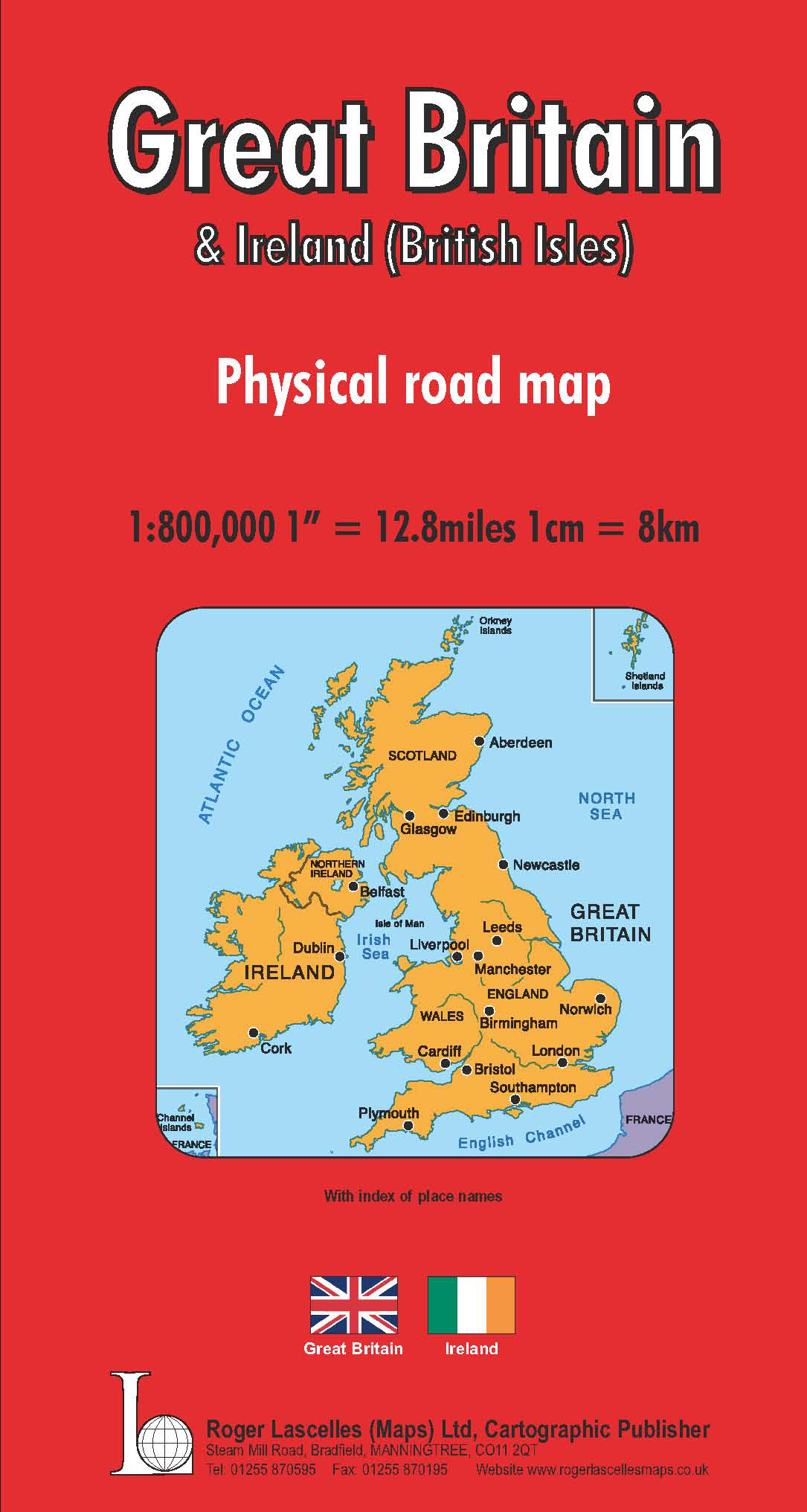
Great Britain & Ireland Road Map | 1: 800,000 | ROGER LASCELLES
£8.95
Stock Status: In Stock
Description
Description
This large scale map covers the whole of Great Britain and the Republic of Ireland, with the Shetland Islands, the Channel Islands and the far south west corner of Ireland shown as insets, and comes with a comprehensive place names index booklet. T owns and cities are graded according to their population and the road network is clearly marked and well differentiated by colour with major route numbers and distances given. A selection of secondary roads is also included and scenic routes are highlighted. Country boundaries are clearly shown and relief shading included to indicate terrain. The names of major mountain and hill ranges are also included.
Other information includes railways, rivers, airports, national parks, ferry routes, the Channel Tunnel and numerous places of interest including campsites, castles and historic buildings. There is also a street plan inset of London shown at 1:20,000.
Legend: English, German, French
| ISBN/EAN | 978 1 85879 0701 |
|---|---|
| Scale | 1: 800,000 |
| Format | Folded Map |
| Publisher | Roger Lascelles |
Reviews (0)
You must be logged in to post a review.
Related products
-
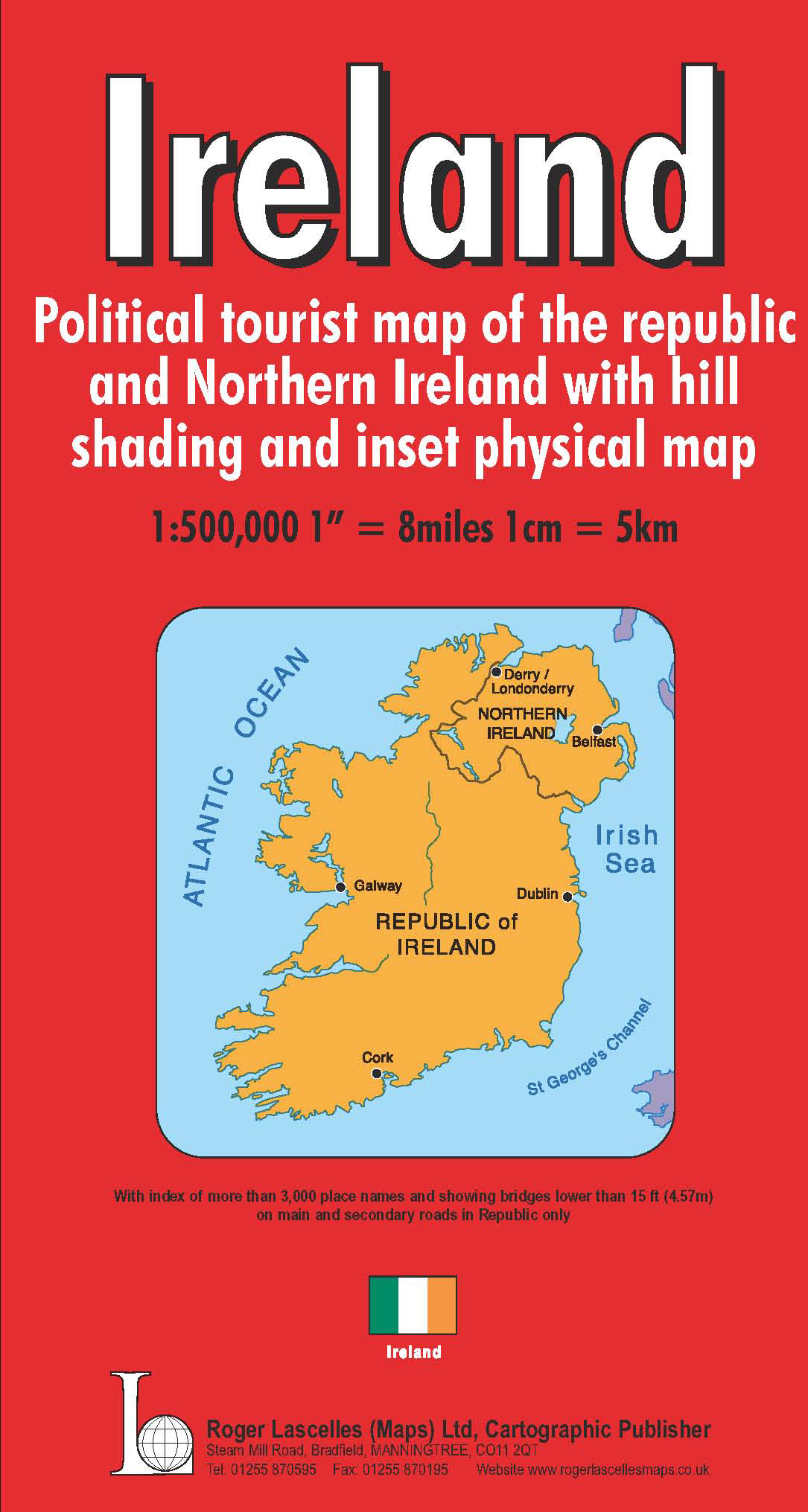
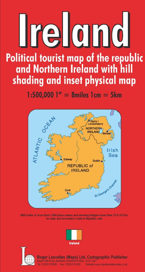
Ireland | 1: 500,000 | ROGER LASCELLES
£8.95 Add to basket -

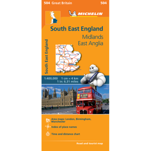
South East England | Regional Map 504 | 1: 400,000 | MICHELIN
£5.99 Add to basket -
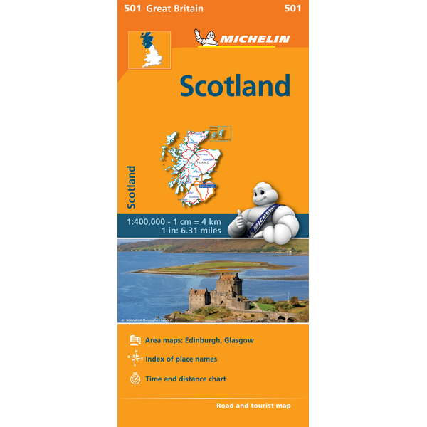
Scotland | Regional Map 501 | 1: 400,000 | MICHELIN
£5.99 Add to basket -
Daily Telegraph Great Britain & Ireland|Wall Map|ROGER LASCELLES
From £11.00 Select options This product has multiple variants. The options may be chosen on the product page
Reviews
There are no reviews yet.