

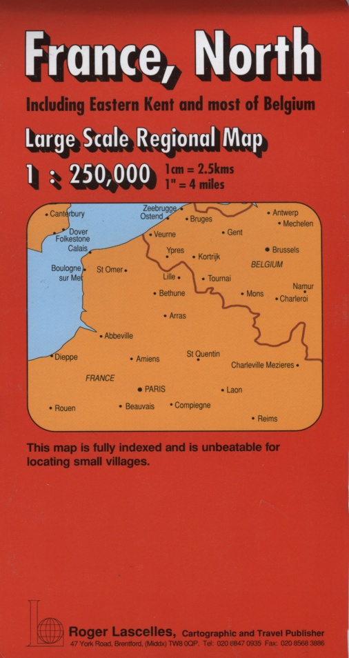
France (North) | Regional Map | 1: 250,000 | ROGER LASCELLES
£8.95
Stock Status: In Stock
Description
Description
This map covers the north of France, as far south as Reims together with eastern Kent and most of Belgium. The map is fully indexed on the reverse and is unbeatable for locating small villages. Towns and cities are graded according to their population and the road network is clearly marked and well differentiated by colour with route numbers and distances given.
A wealth of secondary and minor roads are included and scenic routes are highlighted. The names of motorway junctions are also marked as well as service stations and roadside restaurants. Other information includes railways, rivers, airports, ferry routes and the Channel Tunnel. Sports venues and facilities are also marked together with numerous places of interest including campsites, viewpoints and historic buildings.
Legend: French, English, German, Dutch, ltalian
| ISBN/EAN | 978 1 85879 1791 |
|---|---|
| Scale | 1: 250,000 |
| Format | Folded Map |
| Publisher | Roger Lascelles |
Reviews (0)
You must be logged in to post a review.
Related products
-
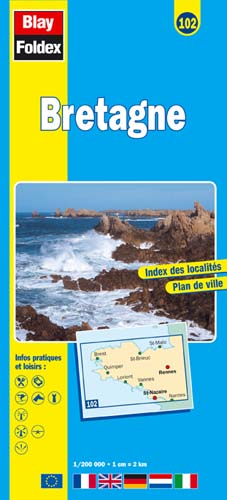
Brittany (Bretagne) | Regional Map | 1: 200,000 | BLAY FOLDEX
£5.95 Add to basket -

Pas de Calais | Water Resistant Map | 1: 180,000 | BLAY FOLDEX
£6.00 Add to basket -

Aquitaine | Regional Road Map | 1: 200,000 | BLAY FOLDEX
£5.95 Add to basket -
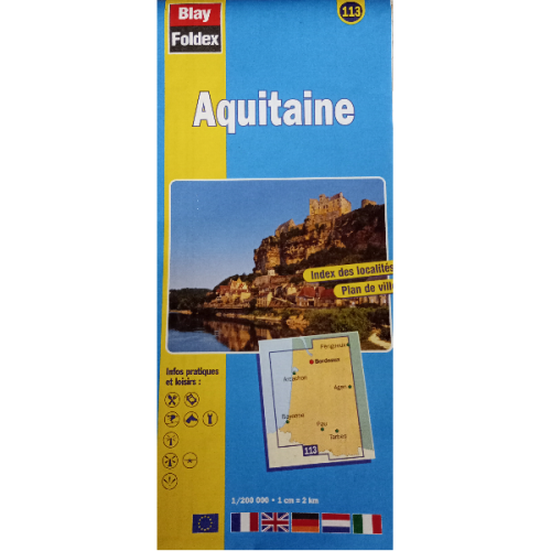
Aquitaine 113 | Regional Road Map | 1: 200,000 | BLAY FOLDEX
£5.95 Add to basket
Reviews
There are no reviews yet.