
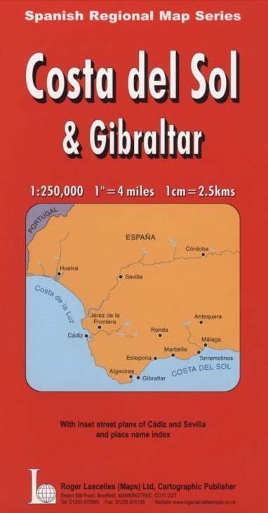
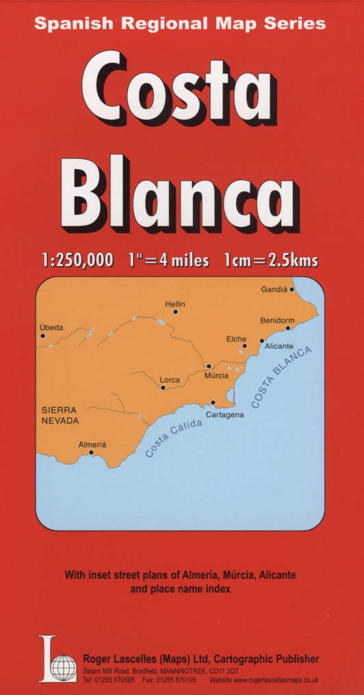
Costa del Sol & Gibraltar | 1: 250,000 | ROGER LASCELLES
£8.95
Stock Status: In Stock
Description
Description
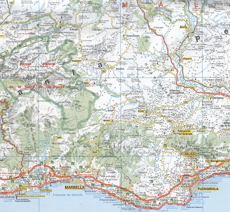
This detailed large scale map of the Costa del Sol and Costa de la Luz region region of Spain extends from the Portuguese border in the west to Nerja in the east, with Gibraltar and the land south of Manilva shown in an inset. The map includes a wealth of information for travellers with the road network clearly marked and well differentiated by colour and with route numbers and intermediate driving distances given and numerous minor roads and tracks shown. Steep gradients are also marked and scenic and tourist routes highlighted. Relief shading is included to indicate terrain and spot heights shown together with mountain passes. The map also indicates rivers, ferry routes, airports, railways and a wealth of places of interest as well as beaches, campsites, hostels and hotels. The map includes inset street plans of Cadiz, Seville, Málaga and Córdoba and comes with a comprehensive 38-page place names index booklet.
Legend: German, English, Spanish
| ISBN/EAN | 978 1 85879 3405 |
|---|---|
| Scale | 1: 250,000 |
| Format | Folded Map |
| Publisher | Roger Lascelles |
Reviews (0)
You must be logged in to post a review.
Reviews
There are no reviews yet.