
Cognac city map | Poitou-Charentes | BLAY FOLDEX
£4.24
Stock Status: In Stock
Description
Description
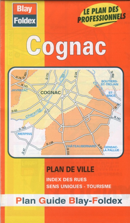
Detailed street map of Cognac and its suburbs including a detailed enlargement of the city centre shown at 1:5,200.
Places of interest are clearly marked including public buildings, churches, cultural attractions, railways and parks. Car parks are also shown together with one-way streets and pedestrianised roads. The map also includes cultural and transport information and a full street index.
| ISBN/EAN | 978 1 85879 4112 |
|---|---|
| Scale | 1: 8,500 |
| Format | Folded Map |
| Publisher | Blay Foldex |
Reviews (0)
You must be logged in to post a review.

Reviews
There are no reviews yet.