
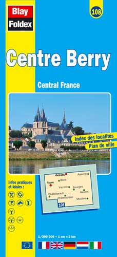
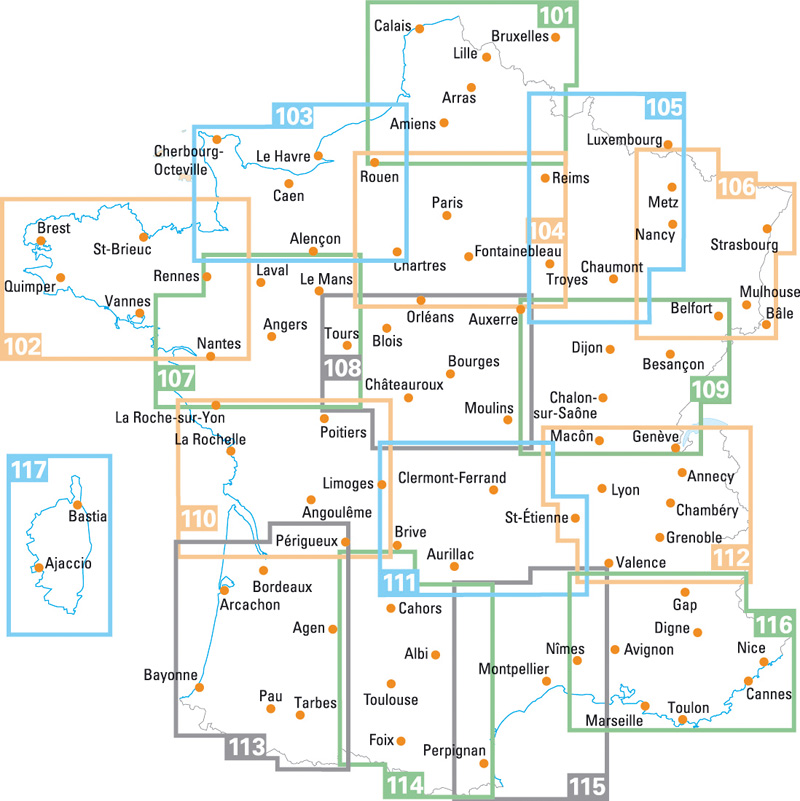
Centre-Berry | Regional Road Map | 1: 200,000 | BLAY FOLDEX
£5.95
Stock Status: In Stock
Description
Description
This detailed map of the Centre Berry region (108) is one of a series of maps by French publisher Blay Foldex covering the regions of France and is full of practical information for tourists and travellers.
The map includes a place names index plus an inset street plan of Orléans shown at 1: 9,000 with a street index, showing the one-way system, car parks, pedestrianised roads and tramway stations.
Legend: French, English, German, Italian, Dutch
Towns covered: Auxerre, Blois, Bourges, Châteauroux, Châtellerault, Moulins, Nevers, Orléans, Tours, Vierzon
| ISBN/EAN | 978 1 85879 4402 |
|---|---|
| Scale | 1: 200,000 |
| Format | Folded Map |
| Publisher | Blay Foldex |
Reviews (0)
You must be logged in to post a review.
Related products
-
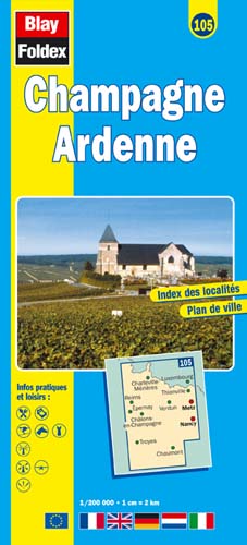
Champagne-Ardenne | Regional Road Map | 1: 200,000 | BLAY FOLDEX
£5.95 Add to basket -
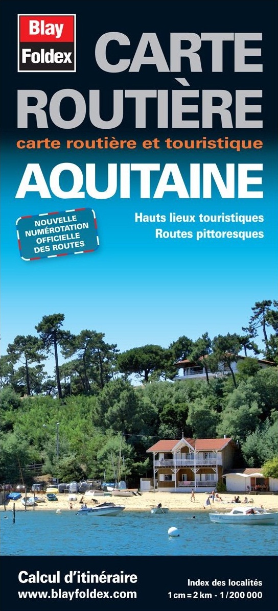
Aquitaine | Regional Road Map | 1: 200,000 | BLAY FOLDEX
£5.95 Add to basket -
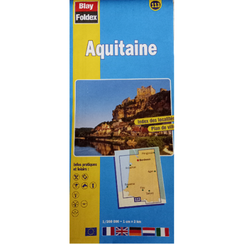
Aquitaine 113 | Regional Road Map | 1: 200,000 | BLAY FOLDEX
£5.95 Add to basket -
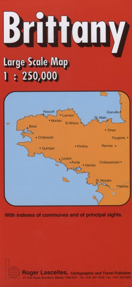
Brittany | 1: 250,000 | ROGER LASCELLES
£8.95 Add to basket
Reviews
There are no reviews yet.