

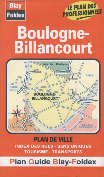
Boulogne-Billancourt city map | Paris, Ile de France | BLAY FOLD
£4.25
Stock Status: In Stock
Description
Description
Detailed street map of Boulogne-Billancourt and its immediate suburbs, showing places of interest including public buildings, churches, cultural attractions, railways and parks. Car parks, metro and tramway stations are clearly marked together with one-way streets and pedestrianised roads. The map includes cultural and transport information and a full street index.
| ISBN/EAN | 978 1 85879 4716 |
|---|---|
| Scale | 1:10,800 |
| Format | Folded Map |
| Publisher | Blay Foldex |
Reviews (0)
You must be logged in to post a review.

Reviews
There are no reviews yet.