

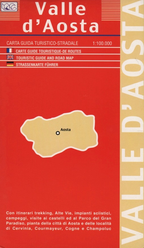
Aosta Valley | Regional Road Map | 1: 100,000 | LAC
£9.00
Stock Status: In Stock
Description
Description
Regional map of the mountainous Valle d’Aosta (Aosta Valley) adjoining Mont Blanc in North West Italy. Roads and tracks are clearly marked and differentiated by colour according to their size/accessibility, including snowbound roads, and intermediate driving distances given. Places of interest, national parks, railways, ski lifts and campsites are also shown.
The reverse of the map includes indexed street plans of Aosta, Breuil Cervinia, Courmayeur, Cogne and Champoluc together with a series of maps featuring information on the Gran Paradiso National Park, castles in the area, walking and trekking routes and ski lifts.
| ISBN/EAN | 978 1 85879 5843 |
|---|---|
| Scale | 1: 100,000 |
| Format | Folded Map |
| Publisher | Litografia Artistica Cartografica |
Reviews (0)
You must be logged in to post a review.
Related products
-
Apulia (Puglia) | Regional Road Map | 1: 250,000 | GLOBAL MAP
£9.00 Add to basket -
Golfo del Tigullio | Regional Road Map | 1: 25,000 | LAC
£10.00 Add to basket -
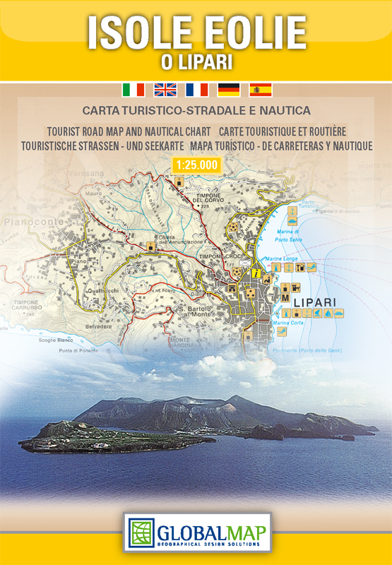
Aeolian (Lipari) Islands | Sicily | 1: 30,000 | GLOBAL MAP
£10.00 Add to basket -
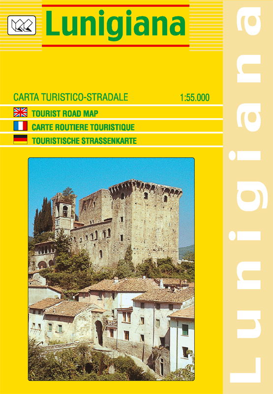
Lunigiana (Tuscany) | Regional Road Map | 1: 55,000 | LAC
£10.00 Add to basket
Reviews
There are no reviews yet.