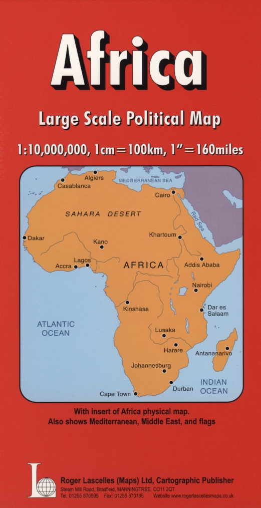
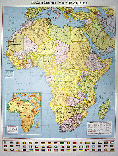
Africa | Political Map | 1: 10,000,000 | ROGER LASCELLES
£8.95
Stock Status: Sold Out
Description
Description
Political map of Africa and the surrounding regions, including southern Europe and the Mediterranean and most of the Middle East (as far east as Oman, UAE and Turkmenistan). The Cape Verde Islands are shown as an inset.
Countries are shown in bright colours with their borders enhanced by darker colouring. Regional boundaries are also marked within some countries. The map shows the main road and rail networks, including some tracks, plus in countries such as Algeria and Libya main oilfields and pipelines. Shipping routes as well as geographical features such as mountain ranges, plateaux and deserts are also marked. Latitude and longitude lines are drawn at 10° intervals.
The map also includes a large inset at 1:32,000,000 showing the physical features of the continent including land elevations and the principal rivers, lakes, deserts and mountain ranges. In addition, the flags of all the African countries are shown in a strip along the bottom of the map. Legend: English, German, French, Italian. Also available as a wall map.
| ISBN/EAN | 978 1 85879 3757 |
|---|---|
| Scale | 1: 10,000,000 |
| Format | Folded Map |
| Publisher | Roger Lascelles |
Reviews (0)
You must be logged in to post a review.
Related products
-
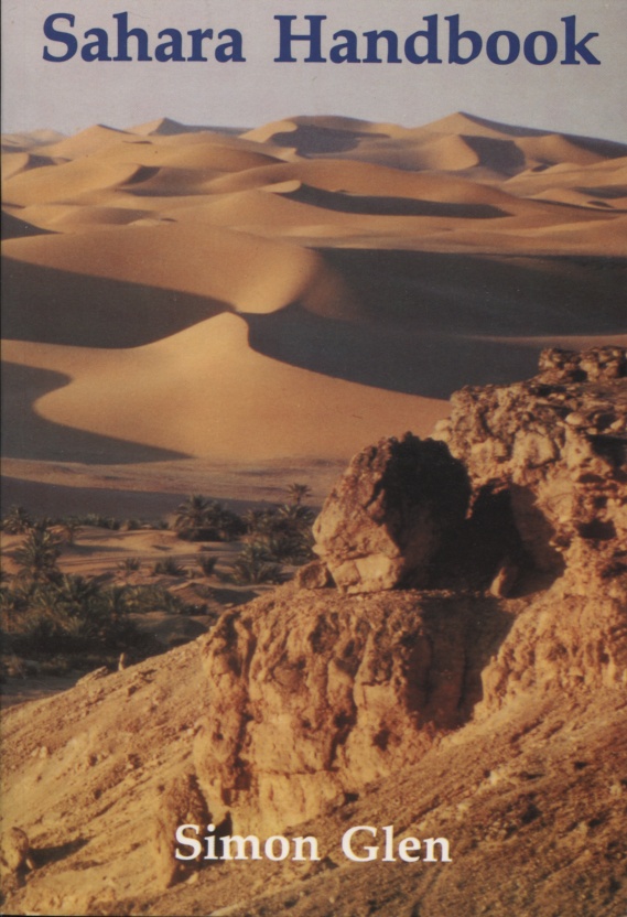
Sahara Handbook | by Simon Glen | ROGER LASCELLES
£17.95 Add to basket -
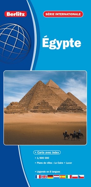
Egypt | 1: 800,000 | BERLITZ
£8.95 Add to basket -
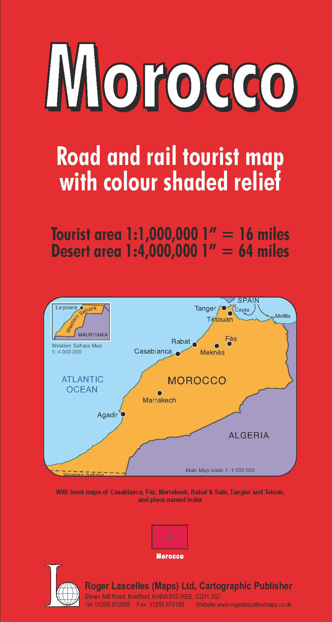
Morocco | 1: 1,000,000 | ROGER LASCELLES
£8.95 Add to basket -
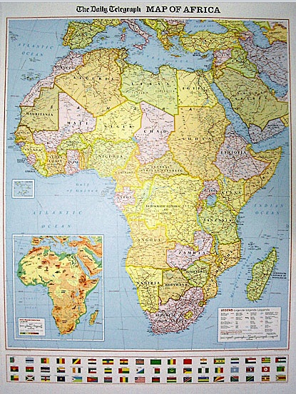
Daily Telegraph Africa | Wall Map | ROGER LASCELLES
From £11.00 Select options This product has multiple variants. The options may be chosen on the product page
Reviews
There are no reviews yet.