Originating and distributing maps of all parts of the world, to all parts of the world
At Roger Lascelles, we’ve been producing and distributing maps to the public and to the trade for over 30 years.
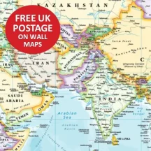
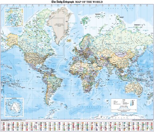
As cartographic publishers to the Daily Telegraph, we are specialists in the production of wall maps, covering all the continents. Our latest range feature specially designed cartography in soft, pastel colours, and are ideal for tourism businesses, transport agents, government departments, schools and libraries, as well as for brightening up your home or office wall. Some of them can also be tailored to individual businesses – see our bespoke mapping section for details.
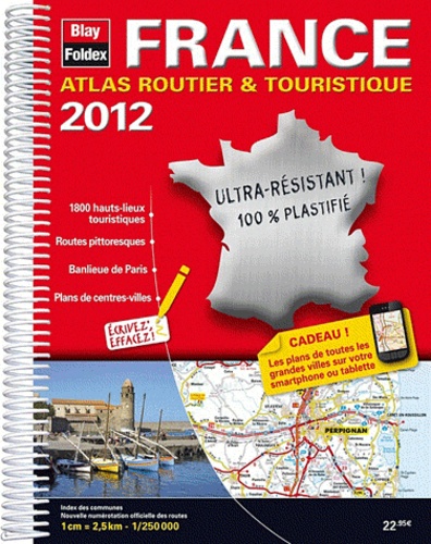
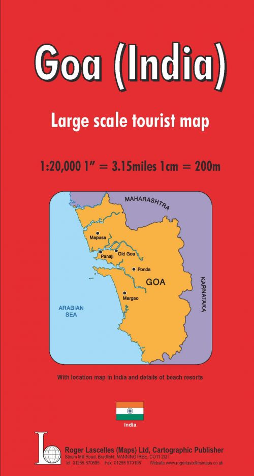
We also produce our own series of over 40 red cover maps, ranging across the world, as well as stocking a comprehensive selection of maps covering French and Italian towns and regions and a variety of special interest titles including walking maps, maps for the railway enthusiast and a chart of the night sky.
With our secure online payment and dispatch normally within 24 hours, ordering online is fast, easy and safe.
 ×
×
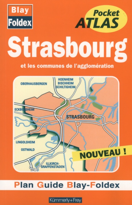 Strasbourg Pocket Atlas | BLAY FOLDEX 1 × £6.99×
 ×
×