


Via Francigena (Tuscany) | Walking Map | 1: 50,000 | GLOBAL MAP
£11.50
Stock Status: Sold Out
Description
Description
This detailed map shows the Tuscany section of the Via Francigena hiking route, the ancient pilgrimage way connecting medieval Rome with Canterbury. The map is georeferenced throughout with both longitude and latitude (WGS84-UTM) and contains all the necessary information for pilgrims walking the route, including accommodation on each of the suggested 15 stages of the route together with information on the various cultural attractions along the way.
The map is printed on two sides with the route shown in a series of eight panels. It includes contours and relief shading to indicate the terrain, together with spot heights. Conservation areas are clearly marked together with places of interest and neighbouring towns and villages.
| ISBN/EAN | 978 1 85879 6475 |
|---|---|
| Scale | 1: 50,000 |
| Format | Folded Map |
| Publisher | Global Map |
| Sheet size | 112cm x 74cm |
Reviews (0)
Related products
-
Parco dei Monti Nebrodi | Walking Map | 1: 50,000 | GLOBAL MAP
£11.50 Read more -
Val d’Arbia Ombrone Orcia | Walking Map | 1: 50,000 | GLOBAL MAP
£11.50 Add to basket -
Mount Etna (Sicily) | Walking Map | 1: 50,000 | GLOBAL MAP
£11.50 Read more -
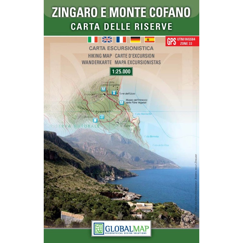
Zingaro and Monte Cofano | Walking Map | 1: 25,000 | GLOBAL MAP
£11.50 Read more
Reviews
There are no reviews yet.