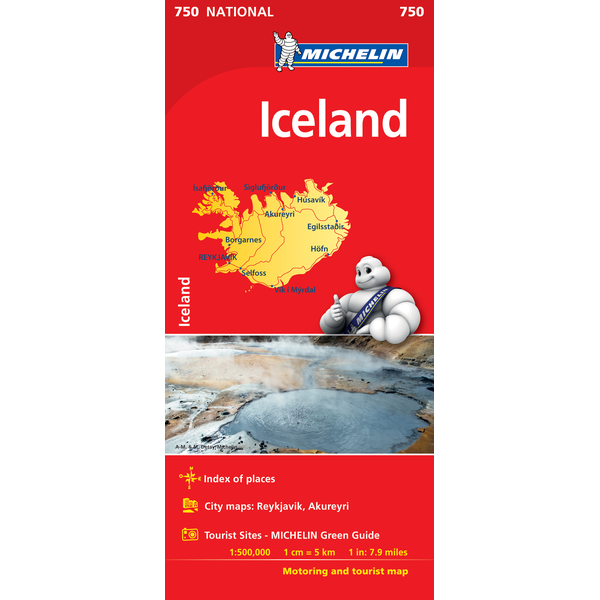
Iceland | National Map 750 | 1: 500,000 | MICHELIN
£5.99
Stock Status: Sold Out
Description
Description
(Edition updated in 2018)
One of the best maps of Iceland in our opinion at a really good scale of 1: 500,000.
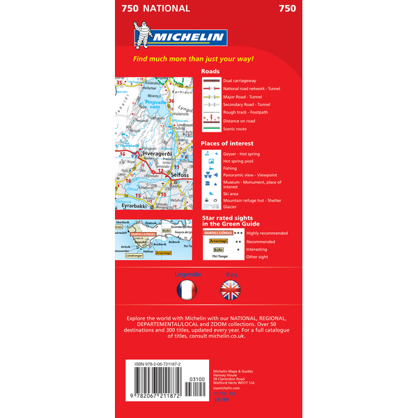
Iceland is one of those countries where, if you want to explore, you need a map that tells you what the roads are like. This map clearly differentiates between unsurfaced and surfaced roads and includes a useful distance and time chart as well as showing intermediate and total route distances along the major routes and tunnels. A selection of tracks are also included and scenic routes highlighted.
The map includes relief shading with topographic features clearly marked including glaciers, waterfalls, geysers and hot springs. A wealth of other useful information includes national parks, museums, ferries, campsites, mountain huts and visitor centres as well as a place name index. There are also street plans of Reykjavik and Akureyi.
The map additionally includes six inset maps of some of the most popular touring areas showing suggested itineraries with the major sites graded. These include: West Iceland including the Snæfellsnes Peninsula and Westfjords; North Iceland including the Mývatn thermal area, Dettifoss, Godafoss and the whale watching port of Húsavik; the Reykjanes Peninsula including the Blue Lagoon; South Iceland including Þingvellir National Park, Jökulsárlón Iceberg Lagoon, Skaftafell, Hekla, Eyjafjallajökull and þórsmörk; East Iceland including Seydisfjordur and Berufjördur; and The Highlands including Askja.
| ISBN/EAN | 978 2 06721 1872 |
|---|---|
| Scale | 1: 500,000 |
| Format | Folded Map |
| Publisher | Michelin |


Reviews
There are no reviews yet.