
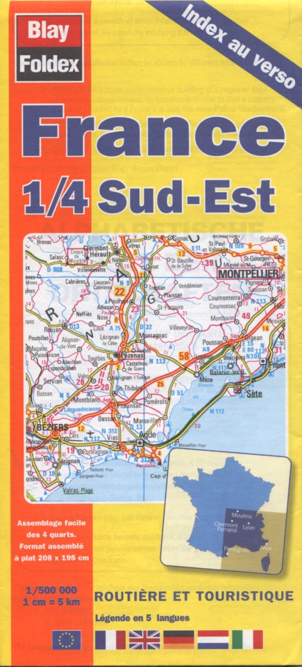
France (South West) | Touring Map | 1: 500,000 | BLAY FOLDEX
£6.95
Stock Status: In Stock
Description
Description
This practical, clearly-drawn road and tourist map covers the south west corner of France as far north as Poitiers and as far east as Clermont Ferrand. It features a wealth of detail with the road network clearly differentiated by colour and route numbers and intermediate driving distances given. Scenic routes are also marked together with motorway filling stations, motels and restaurants. Towns and cities are graded according to their population and railways, ferry routes and airports marked as well as rivers, national parks and a good selection of places of tourist interest. The map includes an index of places and features insets of the regions around Bordeaux, Toulouse and the Basque country. It also includes a map showing the French regions and départments together with a map pof the French overseas departments and territories.
Legend: French, English, Spanish, Italian, Dutch
Towns/cities covered: Angouleme, Bergerac, Biarritz, Bordeaux, Limoges, Montauban, Perpignan, Poitiers, Toulouse
| ISBN/EAN | 978 1 85879 6437 |
|---|---|
| Scale | 1: 500,000 |
| Format | Folded Map |
| Publisher | Blay Foldex |
Reviews (0)
Related products
-
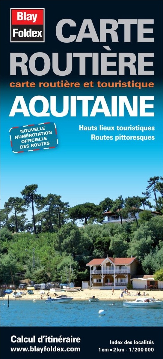
Aquitaine | Regional Road Map | 1: 200,000 | BLAY FOLDEX
£5.95 Add to basket -
France (South East) | Touring Map | 1: 500,000 | BLAY FOLDEX
£6.95 Add to basket -
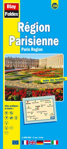
Paris Region | Regional Road Map | 1: 200,000 | BLAY FOLDEX
£5.95 Add to basket -
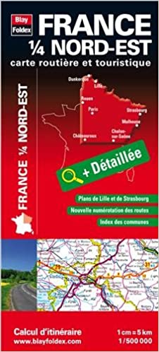
France (North East) | Touring Map | 1: 500,000 | BLAY FOLDEX
£6.95 Add to basket
Reviews
There are no reviews yet.