- You cannot add that amount of "Africa | Political Map | 1: 10,000,000 | ROGER LASCELLES" to the basket because there is not enough stock (0 remaining).


Daily Telegraph Africa | Wall Map | ROGER LASCELLES
From £11.00
Description
Description
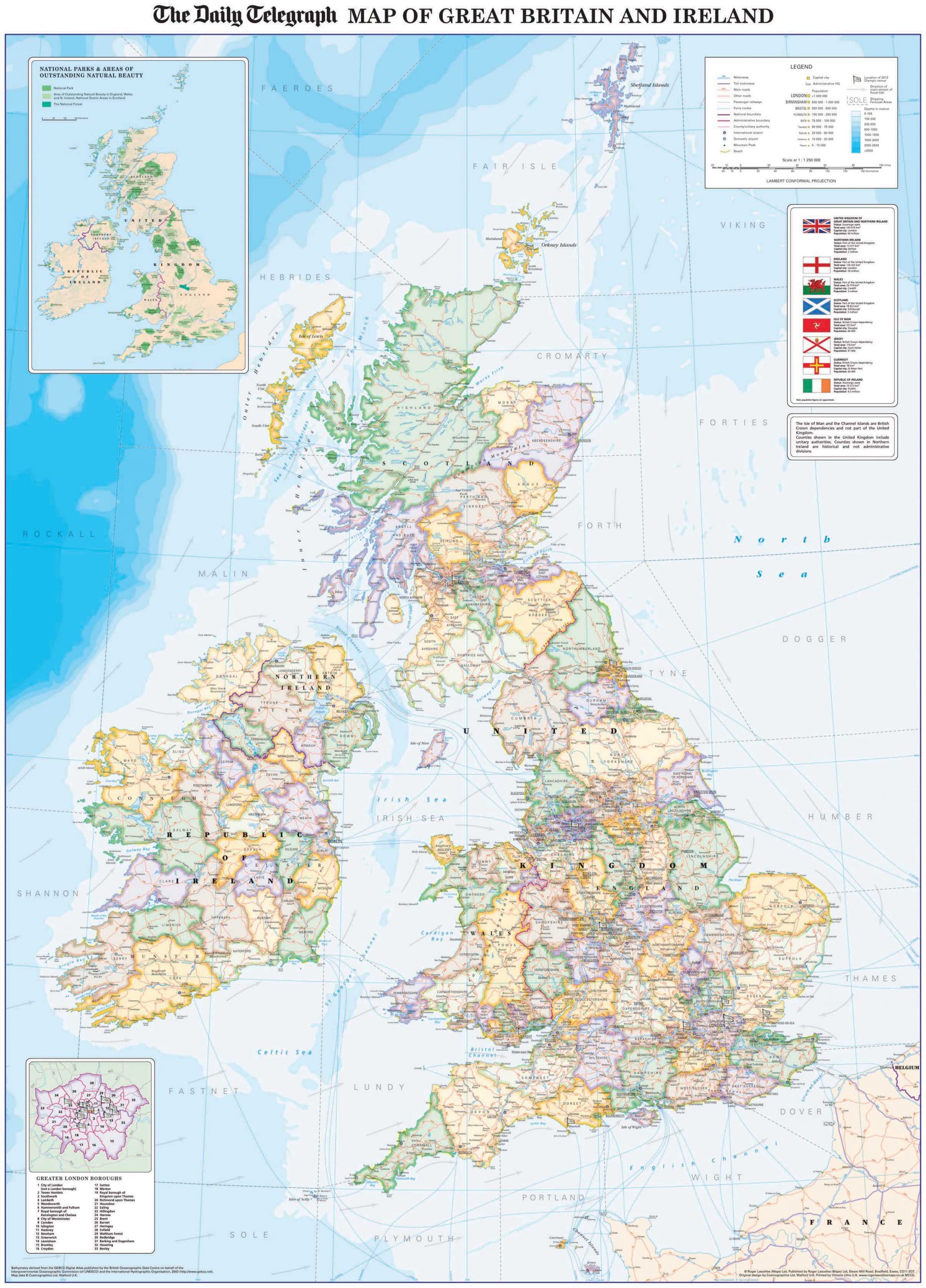
Political wall map of Africa and the surrounding regions, including southern Europe and the Mediterranean and most of the Middle East (as far east as Oman, UAE and Turkmenistan). The Cape Verde Islands are shown as an inset.
Countries are shown in bright colours with their borders enhanced by darker shading. Regional boundaries are also marked within some countries. The map shows the main road and rail networks, including some tracks, plus in countries such as Algeria and Libya main oilfields and pipelines. Shipping routes as well as geographical features such as mountain ranges, plateaus and deserts are also marked. Latitude and longitude lines are drawn at 10° intervals.
The map also includes a large inset at 1:32,000,000 showing the physical features of the continent including land elevations and the principal rivers, lakes, deserts and mountain ranges. In addition, the flags of all the African countries are shown in a strip along the bottom of the map.
The wall map is produced on quality 130 g/m² matt paper with the durable encapsulated version bonded between two sheets of tough, flexible, crystal clear plastic, perfect for framing without the need for glass and allowing you, should you wish, to write on/wipe off with dry or wet pens. Also available as a folded map. Legend: English, German, French, Italian
| Map Type | Encapsulated wall map ISBN/EAN: 978 1 85879 2460, Paper wall map ISBN/EAN: 978 1 85879 2453 |
|---|---|
| Scale | 1: 10,000,000 |
| Format | Wall map |
| Publisher | Roger Lascelles |
| Sheet size | 107cm x 81cm |
Reviews (0)
Related products
-
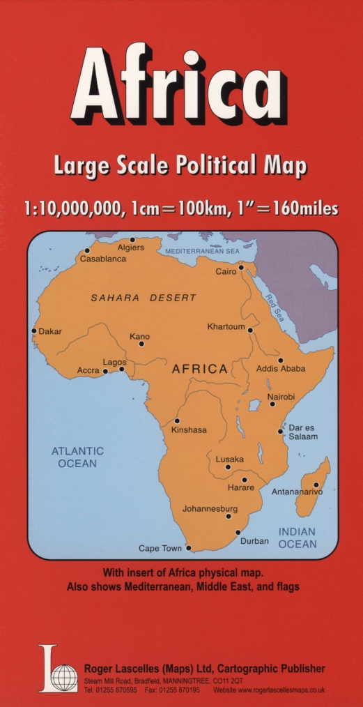
Africa | Political Map | 1: 10,000,000 | ROGER LASCELLES
£8.95 Add to basket -
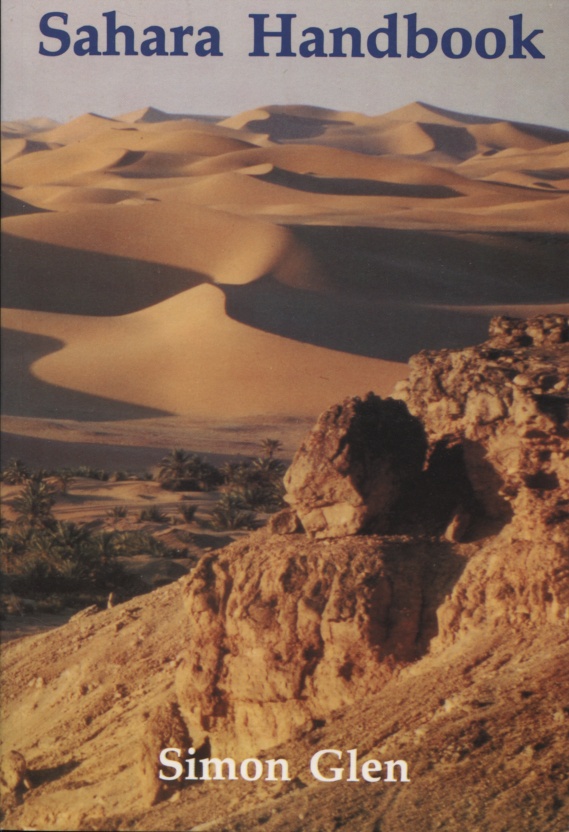
Sahara Handbook | by Simon Glen | ROGER LASCELLES
£17.95 Add to basket -
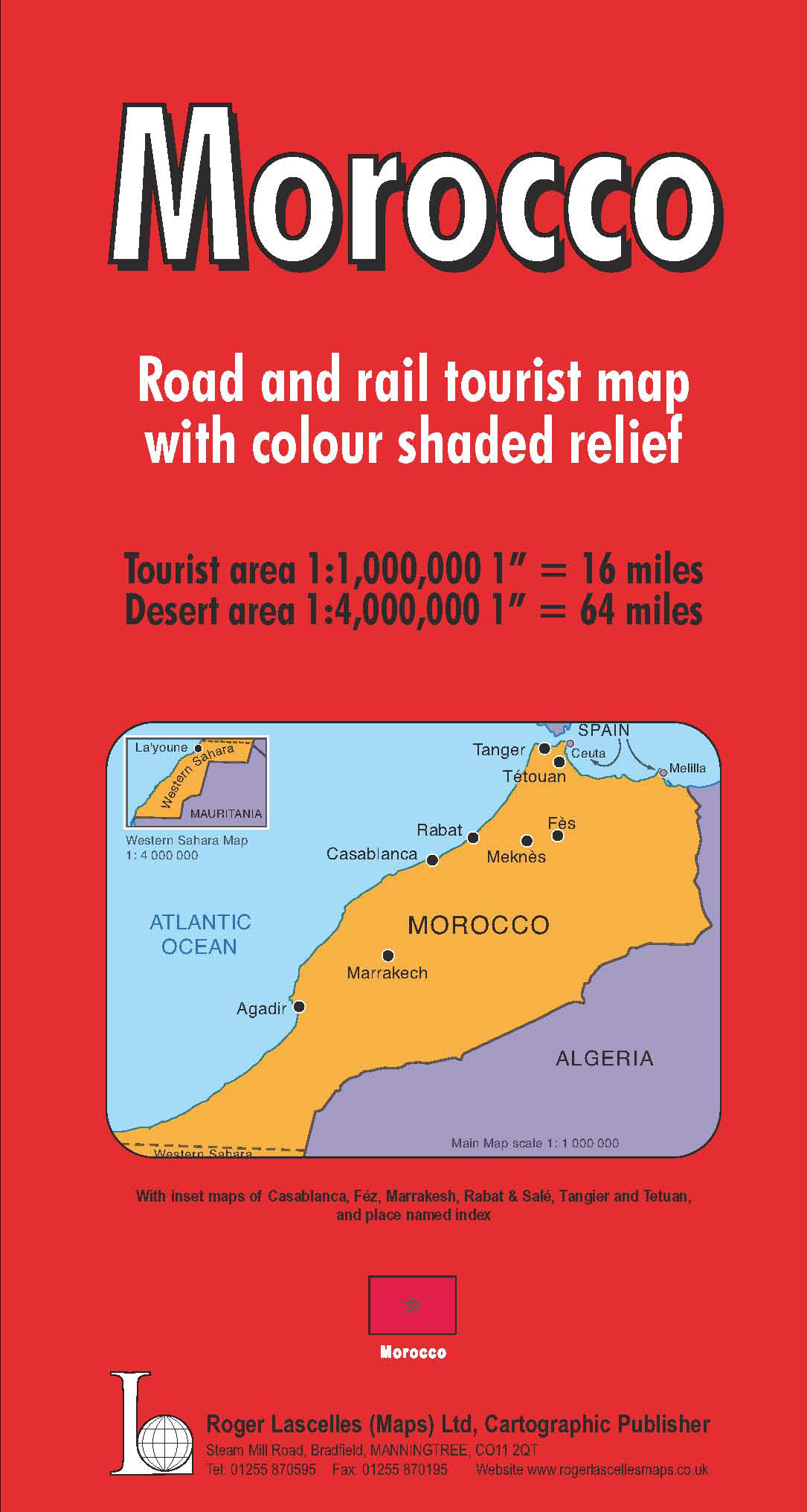
Morocco | 1: 1,000,000 | ROGER LASCELLES
£8.95 Add to basket -
Daily Telegraph Great Britain & Ireland|Wall Map|ROGER LASCELLES
From £11.00 Select options
Reviews
There are no reviews yet.