Ireland
Showing all 5 results
-
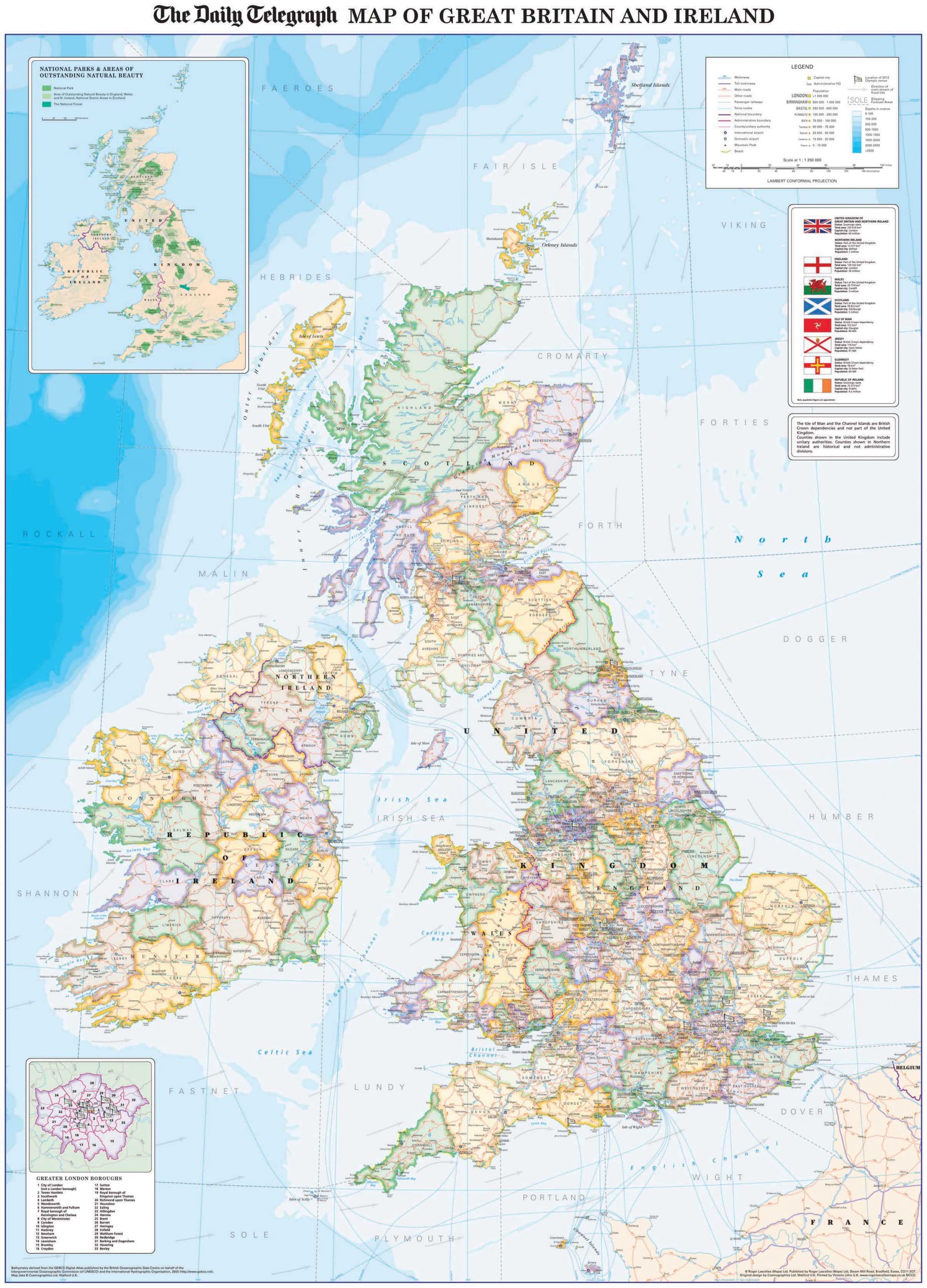
Daily Telegraph Great Britain & Ireland|Wall Map|ROGER LASCELLES
From £11.00 Select options -
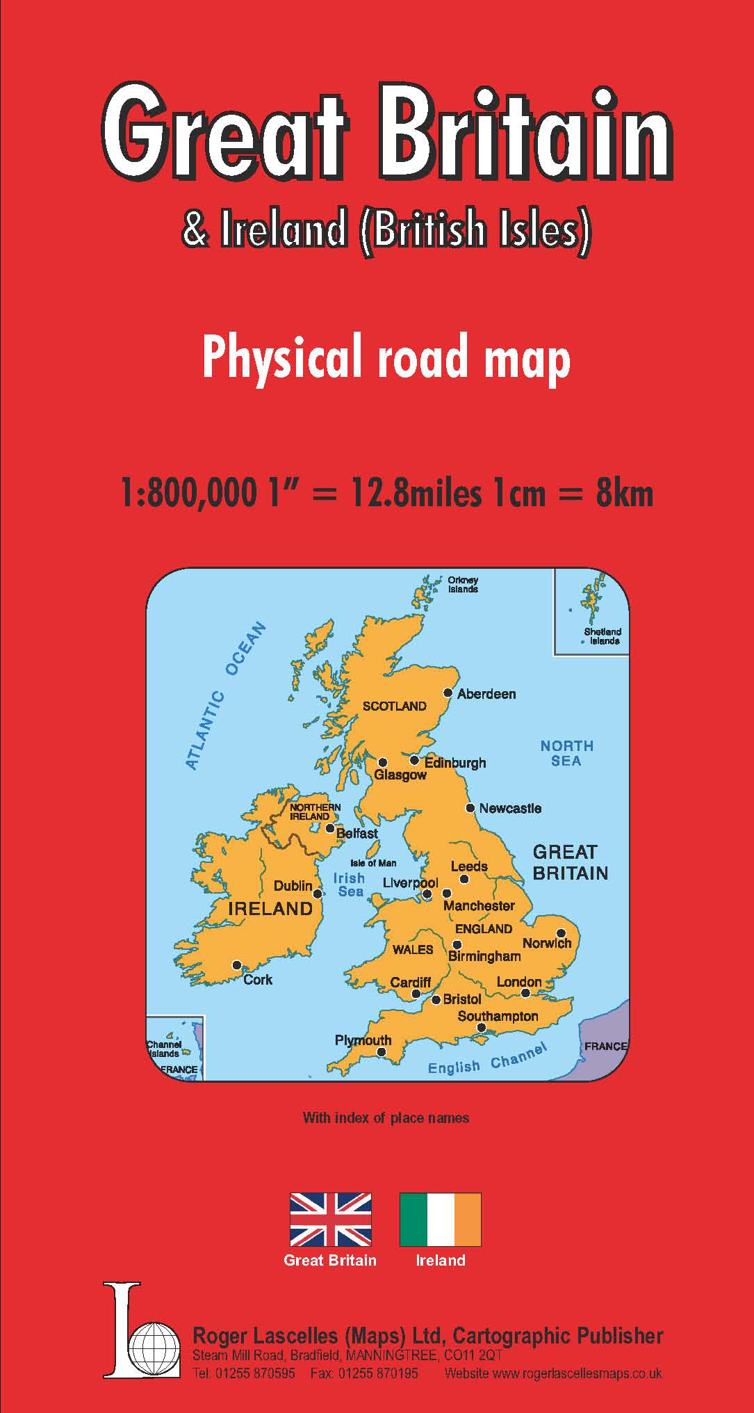
Great Britain & Ireland Road Map | 1: 800,000 | ROGER LASCELLES
£8.95 Add to basket -
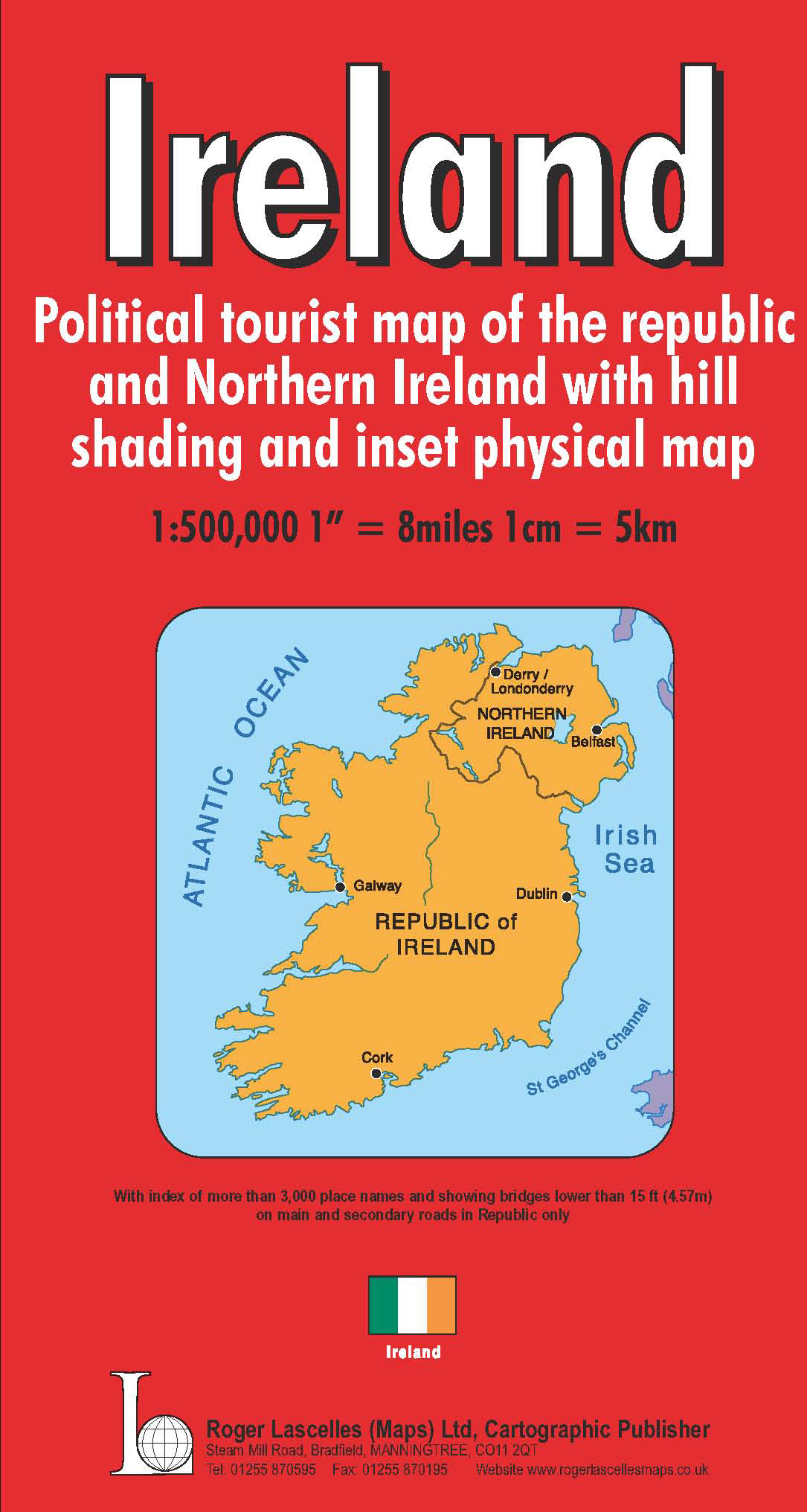
Ireland | 1: 500,000 | ROGER LASCELLES
£8.95 Add to basket -

Ireland Wall Map | 1: 500,000 | ROGER LASCELLES
From £11.00 Select options -
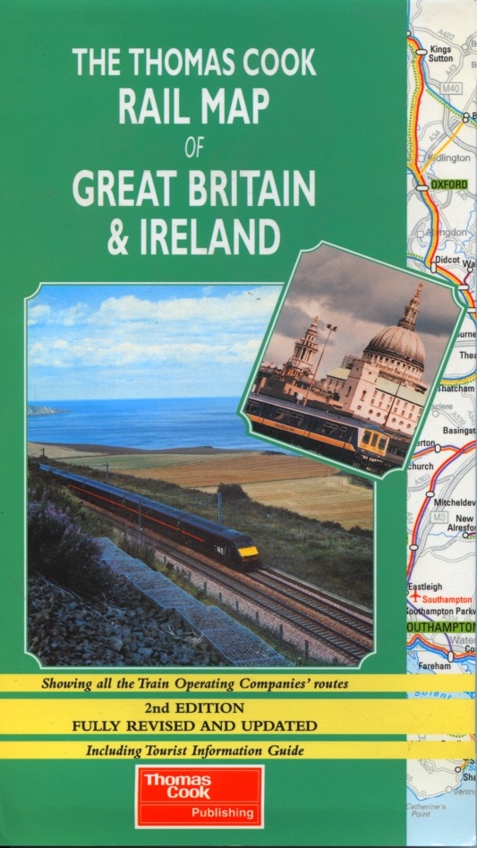
Thomas Cook Rail Map of Great Britain & Ireland | THOMAS COOK
£6.95 Add to basket