

Poitou Charentes | Regional Road Map | 1: 200,000 | BLAY FOLDEX
£5.95
Stock Status: In Stock
Description
Description
This detailed map of the Poitou Charentes region (110) is one of a series of maps by French publisher Blay Foldex covering the regions of France and is full of practical information for tourists and travellers. All the major attractions are clearly marked and scenic routes highlighted.
The map includes a place names index plus inset street plans of Poitiers and La Rochelle shown at 1: 8,950 with a street index, showing the one-way system, car parks and pedestrianised roads.
Legend: French, English, German, Italian, Dutch
Towns covered: Angoulême, Cognac, La Rochelle, Limoges, Niort, Périgueux, Poitiers, Rochefort, Roche-sur-Yon, Royan, Saintes
| ISBN/EAN | 978 1 85879 4464 |
|---|---|
| Scale | 1: 200,000 |
| Format | Folded Map |
| Publisher | Blay Foldex |
Reviews (0)
Related products
-
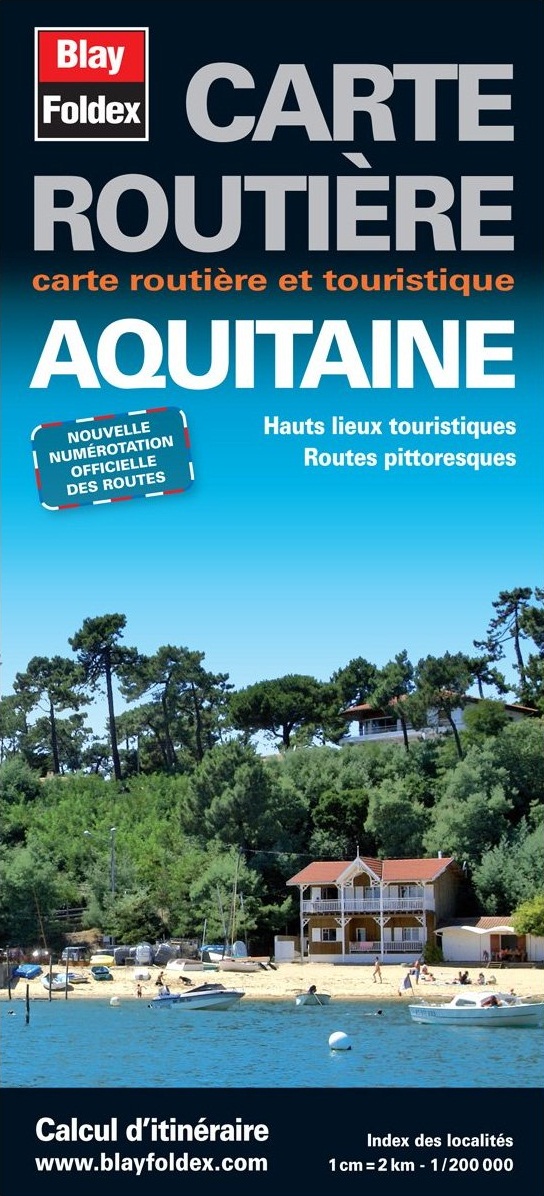
Aquitaine | Regional Road Map | 1: 200,000 | BLAY FOLDEX
£5.95 Add to basket -

Auvergne | Regional Road Map | 1: 200,000 | BLAY FOLDEX
£5.95 Add to basket -
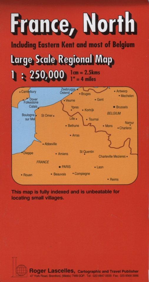
France (North) | Regional Map | 1: 250,000 | ROGER LASCELLES
£8.95 Add to basket -
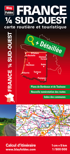
France (South West) | Touring Map | 1: 500,000 | BLAY FOLDEX
£6.95 Add to basket
Reviews
There are no reviews yet.